Ngā Ara Hīkoi ki Aotea – Aotea community walking connections
Aotea’s hidden network
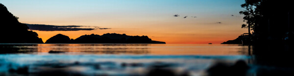
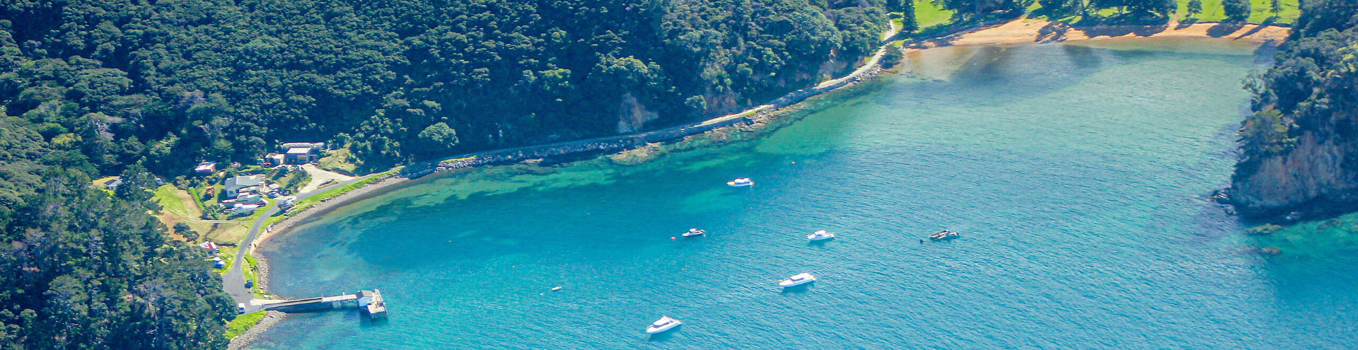
Aotea is blessed with a network of unformed legal roads—often called paper roads—that crisscross the island, connecting people to the land and the environment. Some have been developed, such as Dolphin Bay, Ross Bay, Island Bay tracks (Tryphena), the Ruahine Lookout Track, Kowhai Valley Track and part of Station Rock Walkway. Others are unformed and look like ordinary bush or farmland, but they are publicly accessible for everyone to use.

We’re working with Great Barrier Island communities to reconnect walking routes between the southern settlements. Fortunately, Aotea already has this network of unformed legal roads that link these areas. With the funding we already have, we can turn some of these routes into tracks.
The funding isn’t enough to do everything, but it’s enough to do the most important things—and that’s where you come in.
Have your say
Which public access routes matter most to you? When thinking about priorities, consider:
- Recreation opportunities for hiking, biking, and exploring
- Connections between communities
- Environmental care such as pest control access
- Safe, enjoyable trails for whānau and tamariki
Which unformed legal roads will be considered for this project?
- Connection between Tryphena and Okupe
- Connection between Tryphena and Oruawharo/Claris
- Connection between Okupu to Claris and Kaitoke Lane
- Connection between Whangaparapara and Okupe
- Connection between Cape Barrier, Rosalie Bay, Tryphena and Oruawharo
- Other ULRs depending on project progress.
The first route we are working on connects along Kaitoke Lane to Okupe (see the map below with a solid purple line representing an unformed legal road between Okupe and Kaitoke Lane). We walked over the route in March 2025 and noted the following:
Okupe to Kaitoke Lane
- This is a walkable route – and we talked to people who have walked it in the past!
- The gradient is suitable for walkers with moderate fitness and agility.
- Locals are interested in walking safely between settlements, accessing the land for predator control, and connecting the school community to the school.
- Given that there is legal public access along the unformed legal road, we think it would be best to help people stay on track.
Our plan aims to enhance safety and accessibility for all walkers while preserving the natural environment.
Check out public access on Aotea using our Outdoor Access Maps (WAMS), or download the Pocket Maps App.