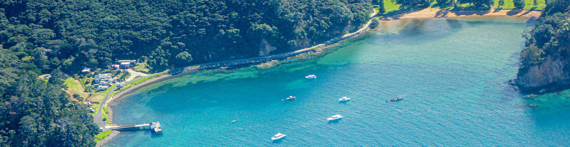
Unformed legal road project on Aotea
Our Auckland field advisor recently visited Aotea Great Barrier Island to support the Ara Hīkoi ki Aotea-Great Barrier Island connectivity project. She and local project team members explored a walking link across the southern part of the island from Okupu / Okupe to Kaitoke Lane. The route relies on unformed legal roads as public access between coastal settlements. The surveyor gathered measurements, identified existing survey pegs and fencelines and helped the expedition reach the destination using public land.
The team met several locals on the route, all of whom expressed their support for a path connecting communities on the island. Additionally, no kauri trees were found during the walk, which may allay concerns regarding kauri dieback management.
The project team now plans to report back to stakeholders, including mana whenua, the local board, DOC and Auckland Council on findings and recommendations from their exploratory work. They will also talk with adjoining landowners about marking the route to ensure their privacy is protected.
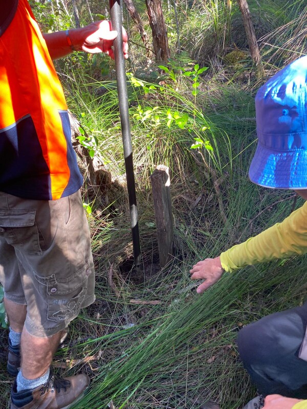
This hidden survey peg shows that there have been surveyors here before. The expeditition team carefully took into account the structure of land boundaries as they walked their route. Photo credit: Dot Dalziell.