Drones and public access
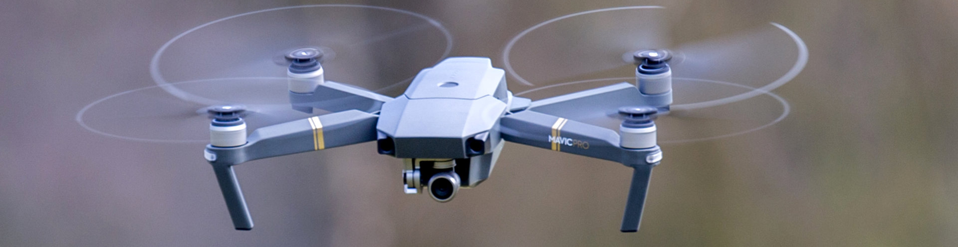
Drones are increasingly used on public lands for activities such as hunting, fishing, and photography.
Hunters might want to scout an area for practical routes and to spot animals. Anglers might search for pools and river crossings. Dropping lines for sea fishing is popular. A photographer can get a unique perspective on their subject. Knowing and understanding the drone rules is essential for all these users.
Civil aviation rules
In New Zealand, all drones are subject to the same rules, regardless of use and location. These are set down in the Civil Aviation Authority (CAA) regulations, Part 101.
Key rules include:
- Drones must not exceed 25kg and must be well-maintained
- Keep a safe distance from people, property, and other aircraft
- Fly only during daylight and within line of sight
- Maintain altitude below 120 meters
- Obtain consent before flying over people and private property. For public areas, check with local councils or the Department of Conservation (DOC – see details below)
- Avoid flying near airports (within 4km) and in restricted airspace
Answers to frequent drone questions from CAA
The rules apply to all types of land, including public access areas. Note that this applies equally to where the drone was launched, what it is flying over, and where you are standing while flying it.
However, there are additional rules and restrictions for public land managed by councils, and for public conservation land managed by the Department of Conservation (DOC).
Council parks, reserves and public areas
Each council makes its own additional rules regarding drone use in public spaces. Before flying in public parks and reserves, it is important to check with the local council about any bylaws on drones.
List of district, city and regional councils
Public conservation land
Drones in public conservation areas require a concession (permit) under the Conservation Act 1987 to protect wildlife, respect cultural values, and ensure public safety and enjoyment.
All public conservation land has been categorised in one of three ways for drones:
- Green: Generally allowed — concession likely granted.
- Orange: Case-by-case assessment needed.
- Red: Typically not allowed — concession rarely granted.
DOC’s drone operating conditions
Drone safety: Drone use on conservation land
DOC map users can now view drone areas for recreational, commercial, and research use by selecting from the basemap options.
DOC maps: Discover the outdoors