Pocket Maps help
Pocket Maps is a mobile app containing public access areas across Aotearoa. The maps are split into regions and are available to be downloaded for offline use. The app allows users to take maps with them outdoors to see public access areas no matter where they are. Learn more about the public access areas dataset.
It is important to note that this app is not a direct copy of our mapping system, some tools may be different. Maps are downloaded at a smaller version to keep offline file sizes to a minimum.
The app is not a substitute for a GPS unit and should be used in conjunction with one if using it outdoors.
Contents
- Moving the map frame (pan)
- Zooming in and out
- Find my location
- Search for address (online only feature)
- Map tools
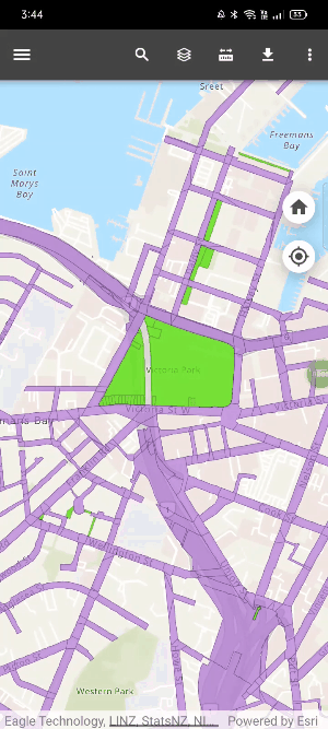
Moving the map frame (pan)
Touch and drag the map with a single finger to move the map.
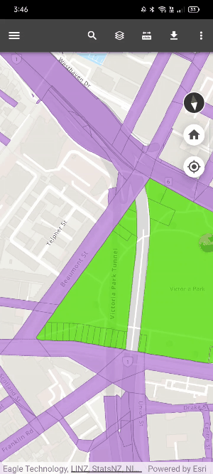
Zooming in and out
Using two fingers, pinch and zoom out on the screen of the map.
Find my location
Click on the location button on the map (middle-right), which will locate you based on your device’s GPS signal. For best accuracy, ensure you are outside in an open area, away from buildings, trees, or large structures.
Search for address (online only feature)
Click on the search icon and click on the bar next to the back arrow. Type the address and click on the correct result from the drop-down list.
Map tools
This section explains each of the basic and advanced tools available to users. It gives tips on how to get the most of each tool. All tools open in the bottom-half pane of your mobile device.
|
|
|
|
|
|
|
|