
About our maps
Learn about each of our Maps and why they can be useful for helping you find out more about public access to the outdoors in Aotearoa.
Our maps show public access areas; places where the public has a legal right to access land, such as coastline, rivers, conservation land, private land, or parks and reserves. They also show a variety of property information, hunting and fishing spots, and outdoor recreation information, such as walking trails, horse riding, cycle routes, and mountain bike tracks.
-
Outdoor Access Map
Use this map to find public access, tracks, conservation land, property information and outdoor recreation opportunities across Aotearoa
Key information shown
- Public access areas
- Tracks and trails
- Conservation land
- Hunting and fishing information
- Property and cadastral information
- Hydro parcels and water features
Typical use cases
- Plan a walk, tramp or hunting trip
- Find legal public access routes
- Find ways to reach public land
- Explore tracks and conservation areas
- Check access near rivers, lakes and the coast
- Check access before visiting an unfamiliar area
-
Property Information Map
Use this map to view cadastral parcel and title boundaries from Toitū Te Whenua Land Information New Zealand. It does not show private ownership information.
Launch Property Information Map
Key information shown
- Property parcel boundaries
- Cadastral data
- Survey and title boundary information
- Land parcel reference information
Typical use cases
- Find property boundaries
- Understand how land parcels are arranged
- Investigate access
- Compare public access with neighbouring land parcels
- Research land information for planning or recreation
-
Tangata Whenua Map
Use this map to see marae and whenua Māori alongside tracks, public access and recreation places. It can help you understand a location’s cultural connections before you visit.
Key information shown
- Marae locations
- Whenua Māori land
- Public access areas
- Tracks and trails
Typical use cases
- Learn about tangata whenua connections to an area
- Build cultural awareness before visiting
- See how recreation areas relate to Māori land
- Plan respectful, informed outdoor visits
- Support education and community engagement
-
Case Map
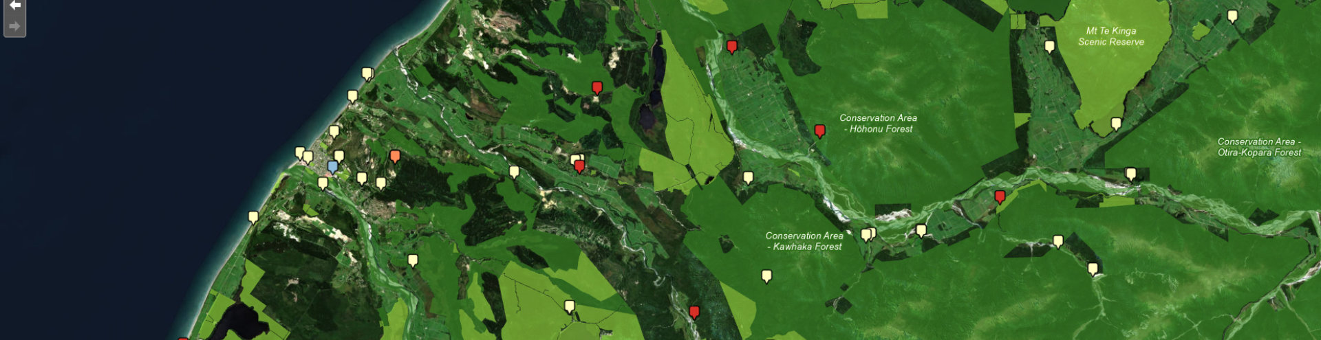
Use this map to see where the Outdoor Access Commission has worked on outdoor access cases since 2019. It shows the locations and broad types of cases, helping make our work more transparent.
Key information shown
- Outdoor access case locations
- Casework undertaken by Herenga ā Nuku
- Historical case information from 2019 onwards
- Spatial patterns and trends in public access matters
Typical use cases
- See where access issues have occurred
- Learn how the commission helps resolve access matters
- Research public access challenges
- Identify regional casework trends
- Give communities and interested people context