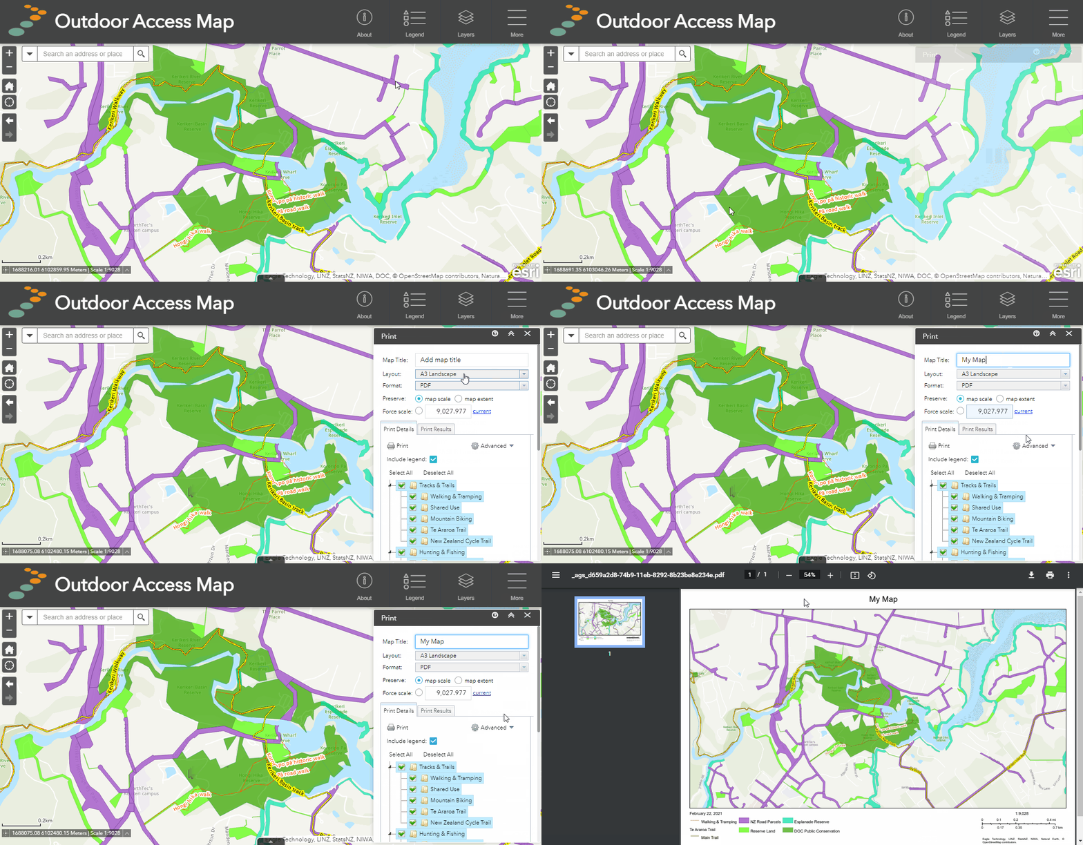
The print function enables users to export a copy of their current map view to PDF, JPEG or other file types. The printed map file can be then downloaded for digital use or sent to your printer from the browser. Maps will automatically include the map scale, scale bar, legend (unless deselected) and date.
How to use
- Select print from the tool menu
- Give your map a title (this will appear on the map as a heading)
- Choose the desired layout from the dropdown list (greyed out region not included in map)
- Choose your desired output file format (PDF or JPG). For higher detail choose PDF. For smaller file sizes choose JPG.
- Adjust map scale if needed. Users can usually leave this as default.
- Choose which layers you want to display in the map legend.
- (Optional) Use the advanced settings to increase or decrease the map size and print quality. Print quality of best is the most suitable for physical printing.
- Click print to generate the map. Once generated, click on the link to display the file in browser. From there you can download the file or send it to your printer.

Or

