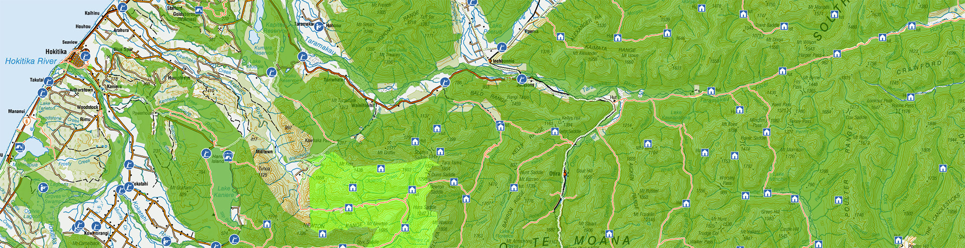
Outdoor access maps (WAMS)
Find public access areas to walk, cycle, hunt, fish, horse ride or otherwise enjoy Aotearoa New Zealand's outdoors.
Open the map showing all layers
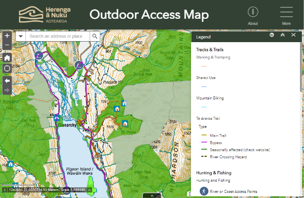
Screenshot of the Outdoor Access Map with the basemap set to LINZ Topographic
Layers included in this map:
- Public access areas
- Hunting and fishing
- Tracks and trails
- DOC huts and campsites
- Property information
Other maps
- View our full Map Gallery
- Get the Pocket Maps app
- Check out Plan My Walk and Te Araroa for more walking track access
Tips
Use the tools along the map's top bar (or top-right menu on smaller screens) to get more from our maps.
- Legend: interpret map features.
- Layers: hide or show information on the map.
- Basemap: choose a background map, including Topo50.
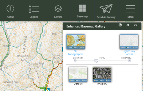
Screenshot of the Basemap Gallery tool.
Browse our help guide to learn about these features and others, including drawing and measuring tools.
Problems?
Occasionally we update our maps and you may need to clear your browser's cache to get things working again.