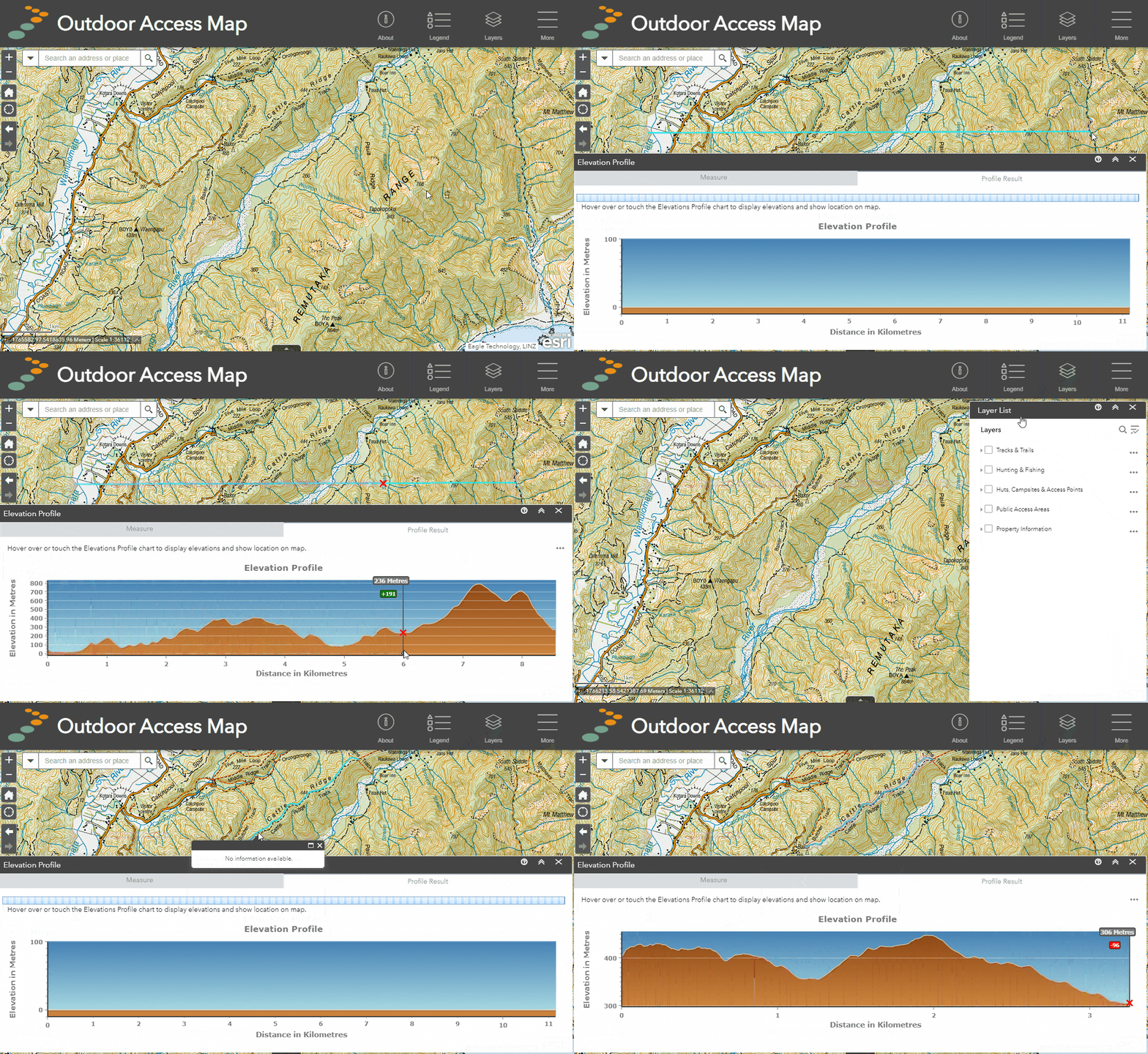
Elevation profile
The elevation profile tool allows users to create an interactive elevation profile of any part of New Zealand's topography. This can be generated either by drawing a line across the map or by selecting a pre-existing line from a layer in the layer list, such as a walking, horse, or mountain bike track or a cycling route. Profiles may then be viewed, flipped, cleared or exported both as images or as raw elevation data.
The profile resolution of this tool is 24 metres. The elevation data source is the Airbus WorldDEM4Ortho.
How to use
Create a profile from scratch
- Open to Elevation Profile tool from the tool menu
- In the measure tab, select "Draw Line"
- Click on the "Distance" button to choose your preferred distance units from the dropdown option
- Choose your starting point on the map and click to begin adding points to the line
- When complete, double click to finish the line and generate a profile.
- View the profile in the profile result tab
Create a profile from an existing line
- Turn on the layer from the layer list that you wish to create a profile from
- Find the path/track that you wish to use on the map
- Open to Elevation Profile tool from the tool menu
- In the measure tab, choose "Select Line"
- Click on the "Distance" button to choose your preferred distance units from the dropdown option
- Now on the path/track you wish to profile and it will generate it automatically.
- View the profile in the profile result tab
Profile options
Once you have generated a profile you can view and use a variety of profile options. Click on the "three dots" menu on top right of the Profile Result tab to view these options.
- Profile Information - view min, max, start, end, elevation change and profile resolution.
- Prepare download - prepare the profile as JPEG for download.
- Export profile data to CSV file - generates a CSV file containing raw elevation values
- Flip elevation profile direction - reverses the orientation of the profile
- Clear - removes the current profile
Demo: creating an elevation profile from a drawn line and an existing line.

Or

