Attribute table
The attribute table provides users with a view of all records contained within the data layers visible on each map. These records include fields and text/numeric information associated with each line, point or polygon in these datasets e.g. the name of a track, a property title reference or parcel ID.
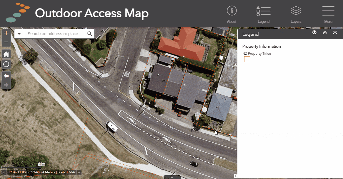
The attribute table is particularly useful when looking at larger layers such as NZ property information and wanting to sort through records or highlight specific pieces of information from them.
How to use
- Open the attribute table by clicking on the black tab at the bottom of the screen (see animation below).
- Layers that are currently turned on in the layer list will appear as tabs in the attribute table, click on any of them to view records from that layer in the table.
- Clicking on a record will highlight the location/shape relating to that record. Click Zoom to while the record is highlighted to zoom the map to that location.
- Conversely, clicking on a feature on the map will highlight it - to view the corresponding record in the attribute table, click on Options, then select "Show selected records".
Display a feature in the attribute table
If a feature or layer isn't currently visible in the attribute table but is visible on the map, you can view the record information in the attribute table using the following steps:
- Click on a feature e.g. a walking track, to view the pop-up information
- Click on "More Actions
- Select "View in Attribute Table"
Further options
Users also have access to further powerful tools in the attribute table from the Options menu.
- Filter - filter records from the selected layer based on particular fields and expressions.
- Show/hide columns - remove or add fields from the attribute table view. These can be turned off or on at any time.
- Export all/selected to CSV - Export any records that are selected OR, if no records are selected, export the entire table for that layer.
Or