Big year ahead for public access mapping
Big year ahead for public access mapping
The expertise of our Geographic Information Systems (GIS) team is a key resource for everything we do at the Outdoor Access Commission. Some of the team’s recent highlights include approval of funding for a plan to rebuild and reinvigorate Pocket Maps, improving our mapping system WAMS to deal with increased public interest and traffic, and a partnership with LINZ to improve nationwide track data for emergency responders.
A new lease on life for our Pocket Maps mobile app
Our Pocket Maps app lets users download our comprehensive public access maps for use offline, out in the wild – so that you can, for example, follow an unformed legal road or “paper road” which is not visible on the ground. It has recently become apparent that the app requires a significant rebuild, the costs of which have now been approved by the Commission’s board. GIS manager Matt Grose welcomed the decision. “We’ve been given the go-ahead to keep growing Pocket Maps and we’re looking forward to making great headway.”
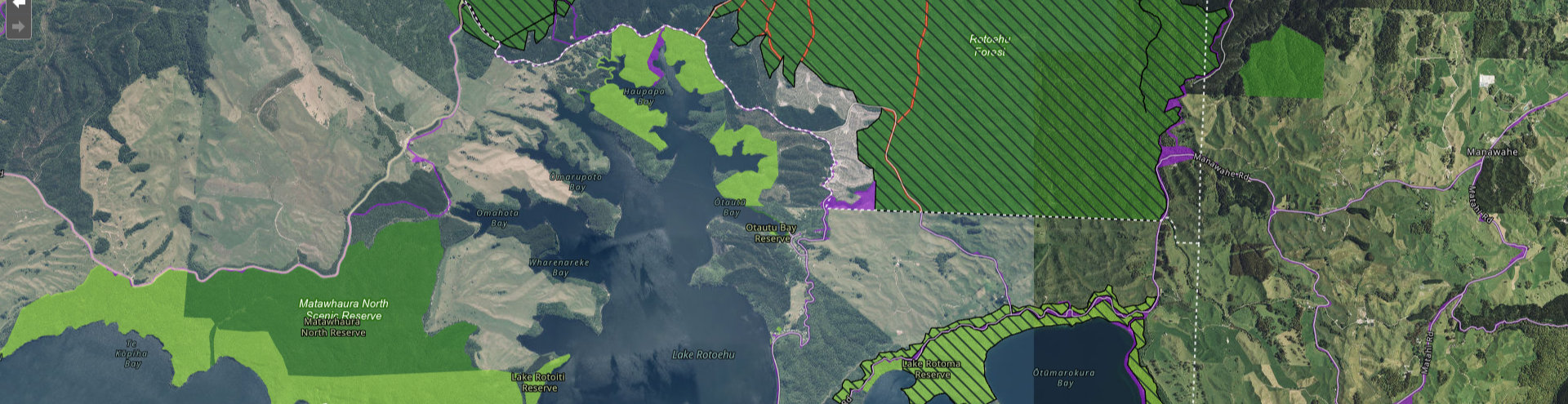
Interest rises in public access
Our mapping system, WAMS, underwent its biggest-ever renovation last year. With a whole new Public Access Area layer in place, we have big plans for the year ahead. For example, earlier this year Pocket Maps was updated with this new layer, meaning our desktop and mobile mapping now line up better.
An increase in media coverage over the last year and into January has driven visits to our online maps, which are up by around 200 per day from this time last year. Matt Grose says the release of the State of Public Outdoor Access Report was particularly impactful:
“We were very glad to see the report was well received, and to have been able to contribute some solid numbers that were used in preparing it.”
He is looking forward to future annual iterations of the report.
“It will be fascinating to see the different ways the data in it will help us connect people with public access. Because the data is for and about people — where the public access is, is it in the right place, and is it enough for each community’s needs?”
View the new public access layer in our maps
Upgrade to track data for use in emergencies
We’re making good progress on the work we began late last year in partnership with LINZ to improve nationwide track data for emergency responders.