
Improving track data for emergency responses
 LINZ (Land Information New Zealand) has invited Herenga ā Nuku to lead a national project to improve track data across New Zealand. This work is part of LINZ’s 2025/26 Key Data Improvement Plan, which focuses on building resilience and preparing for climate change.
Why track data matters
Tracks are more than just recreational routes — they’re vital during emergencies. When roads are damaged or blocked, tracks can provide alternative routes to reach isolated communities or facilitate evacuations.
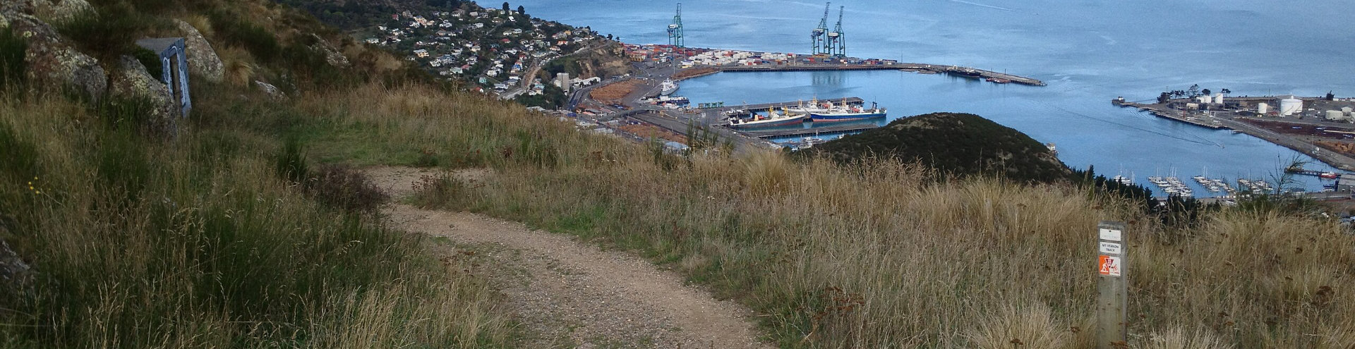
For example, after the 2011 Christchurch earthquakes, some residents of Lyttelton used the Bridle Path to get home when roads were impassable.
Accurate and up-to-date track data helps emergency services:
- Plan safe access routes
- Respond quickly to disasters
- Locate missing people in remote areas
What Herenga ā Nuku will do
By June 2026, Herenga ā Nuku will:
- Refresh our tracks data
- Work with stakeholders to understand what they need
- Make sure track data is ready to support emergency responses
What’s being improved
We’re working with LINZ and other agencies to improve track data in the following ways:
- National coverage – Include tracks from all regions, including the Chatham Islands
- Useful details – Add track features important for emergency planning
- Regular updates – Set up a programme to keep track data current
- Clean connections – Fix overlaps and connect track lines properly
- Web access – Make track data available as a WFS (Web Feature Service)
- Clear metadata – Ensure track data meets national standards
- Easy to find – Make sure data is discoverable on platforms like Esri’s Living Atlas and data.govt.nz
- Emergency-ready – Confirm with users that the data is fit for emergency use
- Trusted source – Confirm Herenga ā Nuku as the national source of truth for track data
Working together
Herenga ā Nuku will collaborate with stakeholders such as Mountain Safety Council, territorial authorities, the Department of Conservation and others that have an interest in track data.
Track data is a new focus area in LINZ’s 2025/26 plan. Progress will be reviewed in June 2026 to ensure the improvements meet the needs of emergency responders and the public.
The 2025/26 key data improvement plan for resilience and climate change

View of Lyttelton Harbour from the top of Bridle Path, which was used as an emergency route following the 2011 earthquake. Photo by Schwede66.