Photo by
Nick Brunsdon
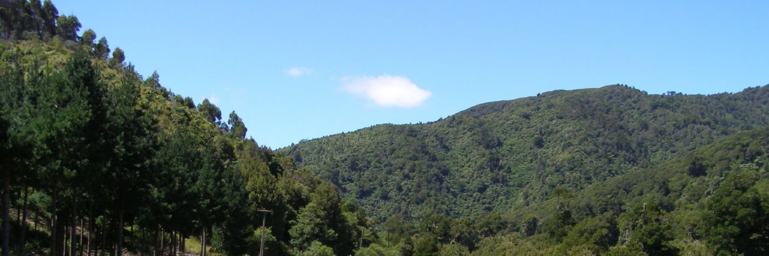
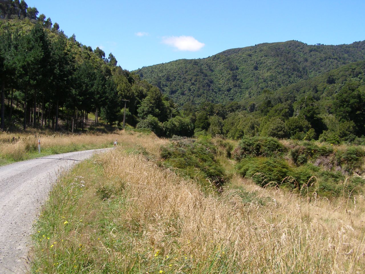
Mt Titi in the Akatrawa Forest offers a variety of challenges for walkers, and there are many good picnic sites on bush fringes and stream edges. Parts of the forest are rugged and isolated, and there are no facilities provided.
From Maungakotukutuku Road cross the stream and follow Perhams Road uphill about 6km to reach a T junction with Titi Road.
Turn left (east) up Titi Road for a further 3km until a clay road curves off left (north). Head along this track and follow a rough track west to Mt Titi. Return the same way. Watch out for trail bikes.
Experienced trampers may wish to continue north along the ridge to Mt Maunganui, returning to Maungakotukutuku Road down the steep north-west ridge through native forest.
Check the Greater Wellington website during summer as part or all of the Walkway may be closed due to fire risks.
Keep to the track and respect the owners’ property. Use stiles and do not climb fences. Leave gates as you find them. Protect all wildlife, plants and natural features. Please leave your pets at home. No dogs are allowed on private land. Mountain bikes are not permitted on the Birchville Reservoir section of the Walkway. Vehicles, horses and guns are prohibited on the Walkway. Please take your rubbish home and recycle when possible.
Good walking shoes essential. Weather conditions often change rapidly. Be prepared with warm, waterproof clothing. Check the website during summer as part or all of the Walkway may be closed due to fire risks.
Warning: Be aware that mountain bikers, four-wheel drive vehicles and logging trucks may be operating in Valley View Forest. There are many good picnic sites on bush fringes and stream edges. No facilities are provided. The terrain is not generally suitable for people with mountain buggies.
Private vehicle:
Non-motorised visitors:
Public transport

Total 1 photos. Click image above to view them all.
Greater Wellington — Akatarawa Forest
This track is part of the Herenga ā Nuku Aotearoa track database. Herenga ā Nuku has maps and advice about public access to the outdoors.
We encourage you to continue gaining the skills and knowledge required for a safe trip. The NZ Mountain Safety Council has lots of free resources and information you can use. You can access them at www.mountainsafety.org.nz.
We recommend trying these online learning tools:
Additionally, check out the range of helpful videos available from the NZ Mountain Safety Council YouTube channel.
