Photo by
Department of Conservation
Time: 1:20 hours to the Plateau
Distance: 3.1 km
Take the Wilkies Pools Loop Track from the car park, walking through the forest before arriving at the series of pools and cascades scoured out of the lava.
Continue past the pools until you come to the junction with the high level Around the Mountain Track, turn left toward the Plateau and climb northeast into mountain totara and cedar before emerging in subalpine scrub near The Plateau car park at East Egmont.
There is a toilet, picnic spot and lookout here, but no public shelter.
Time: 3:30 to 4 hours return
Distance: 7.8 km
Take the Wilkies Pools Loop Track from the car park, then the track on toward the Stratford Plateau.
Descend the steep Enchanted Track, turning at the bottom to head in the direction of Waingongoro Hut.
After crossing the swing bridge over the Waingongoro Stream, either take a 5-minute detour to Waingongoro Hut or head uphill, climbing steadily to the Ridge Track junction.
From here follow signs back to the visitor centre. This track has some overgrown sections (particularly the Enchanted Track) and areas of erosion. Not all streams have bridges across them.
The swingbridge hangs 24m above the Waingongoro Stream - a challenge for some!
No dogs.
Weather on the mountain changes rapidly – you must be well prepared with suitable clothing and equipment for all weather and conditions. Snow, high rainfall and storm damage can make tracks impassable – many rivers and streams are unbridged.
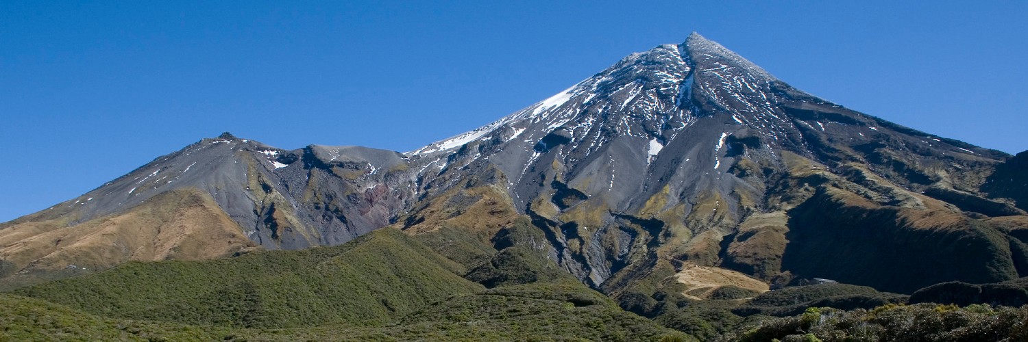
These tracks start in Dawson Falls.
In Stratford, turn off SH23 into Celia Street, which becomes Opunake Road.
Follow this for 14 km, then turn right into Manaia Road and travel 9 km up the mountain to Dawson Falls visitor centre.

This trail currently has no photos.
https://www.doc.govt.nz/parks-and-recreation/places-to-go/taranaki/places/egmont-national-park/things-to-do/tracks/dawson-falls-stratford-plateau-tracks/
This track is part of the Herenga ā Nuku Aotearoa track database. Herenga ā Nuku has maps and advice about public access to the outdoors.
We encourage you to continue gaining the skills and knowledge required for a safe trip. The NZ Mountain Safety Council has lots of free resources and information you can use. You can access them at www.mountainsafety.org.nz.
We recommend trying these online learning tools:
Additionally, check out the range of helpful videos available from the NZ Mountain Safety Council YouTube channel.
