Wenita opens up forests to share “a beautiful surprise”
Otago’s largest timber producer says its seven-year-long programme creating public walkways through special parts of its forests has been tough, rewarding, and eye-opening.
“People sometimes think forestry is just burly men in checked shirts running around with chainsaws. But in fact, it’s a sophisticated and responsible operation, and supporting public access allows people to see that for themselves,” says Wenita Forest Products chief executive David Cormack.
The process began in late 2018, when the Overseas Investment Office (OIO) granted Otago Estate Limited (OEL) permission to acquire more than 22,000 hectares of land covered in exotic forests near Dunedin, known as Wenita Forest Products Ltd (Wenita).
At that time, the Outdoor Access Commission, Herenga ā Nuku Aotearoa, had a statutory role in assessing OIO applications with a view to protecting and enhancing public access.
While the forests were already crossed often by public roads, commission advisors identified opportunities to create new public walkways and other access to a variety of sites in the forest with significant scenic, ecological, archaeological, historical, and cultural value.
These included sites dating from early gold mining and farming days.
The Overseas Investment Office then agreed to include the creation of all of these access routes as conditions for the consent.
The result, completed late last year, is the creation of multiple easements for public access, which together create or complete 12 new public access routes through Wenita’s three main forest areas: Berwick, Mt Allan, and Otago Coast.
For safety reasons, since the walkways are within working forests, access is by permit. Last year, the company granted more than 3,500 permits.
The exception to the by-permit-only rule is a few tracks that skirt Wenita’s forests rather than pass through, or that adjoin DOC tracks on public conservation land.
David Cormack says completing the project was a relief, but the best thing has been seeing people out enjoying the benefits.
“It seemed a huge amount of work when we first saw the programme, but we got there in the end. Wenita forests are a very popular place to spend time, and so far, we have had only positive feedback – so that’s the proof of the pudding, for me.”
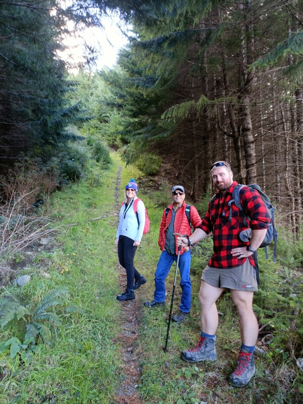
The smiles say it all on one of the 12 new public access routes Wenita has opened in its Otago forests.
Wenita has long made its forests available to the public for recreation during the weekends, with booking required on the company’s website.
However, the new easements created under the OIO process add the option of weekday access to specific areas – again, subject to booking.
To book access, visit:
Guardian of the forest
Wenita technical manager James McEwan is particularly pleased with the historical aspect of some of the new routes.
“The Wingatui Viaduct easement, for example, gives a glimpse back into pioneering times, with the views over the old railway through Mt Allan. It’s amazing what people back then managed to achieve in a relatively short time, with not much more than willpower and determination.”
He said the views from the Maungatua-Mahinerangi walkway were another highlight.
“You feel you’re miles away from anywhere when you’re up there.”
The new walkways range from a few hundred metres to 15 km in length, and from gravelled, driveable forestry roads through to steep walking tracks.
Most are through exotic forest, but Wenita GIS and data specialist Connie Galaz said visitors can also encounter pockets of mature native trees and birdlife.
About 3,200 ha of the forest area is cloaked in indigenous vegetation, managed for conservation purposes, and some easements run through or around these areas.
“There are tōtara, rimu, miro, kahikatea, fantails… you feel like you’re immersed in somewhere else. It was a really beautiful surprise.”
Connie has the unofficial role of handling access enquiries and permit applications.
“I am the guardian of the forest,” she smiles.
As the issuer of permits, she is also guardian of the humans in it. Connie talks of the risks of fire, forestry operations, and severe weather events, where fallen trees can block roads and people can get hurt.
“When you have something like that, you need to know who is in the forest, and where, and to make sure they all get out safely.”
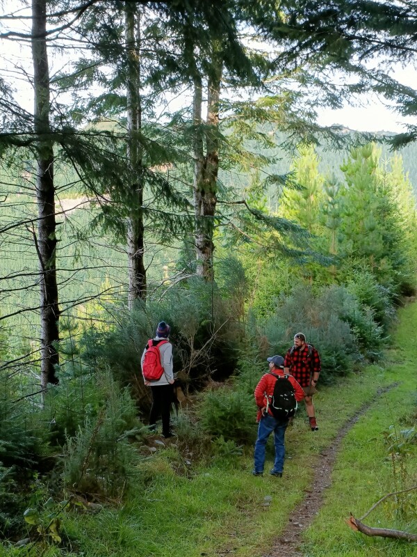
Members of the public using Wenita's forests have to apply for a permit, for safety reasons.
The forests are also home to a growing population of the nationally threatened kārearea, New Zealand falcon, as well as at-risk native galaxiid fish, David Cormack says.
“Especially in Maungatua and Browns blocks, which are part of Berwick. These vulnerable, non-migratory fish are born and live their lives in the same small stretch of water within our forests. But in the surrounding farmland, they’re gone.”
He says the tiny fish are hard to spot in the wild, but it is good to know they are there — and the company does what it can to protect them, as well as falcons and other fauna and flora.
“Our creeks do sustain life and hence it’s important to work around them and not damage them.”
The majority of permits are for hunting, with pigs and deer being the main targets, followed by goats and rabbits.
However, most public access routes are for walking or cycling only, and there are dog walkers, trampers, mountain bikers, and community groups with a fitness, education, cultural, or heritage focus.
“We have people coming to the forest all the time, for different reasons.”
Trampers enjoy access treat
One of the community groups enjoying the new access is the Taieri Recreational Tramping Club, whose Mosgiel base is close to Wenita’s forests.
The new routes are welcomed by the club, according to Peter Dodds, co-leader of a trip in March to Post Office Creek along the Mahinerangi Track, through Wenita’s Maungatua block.
“It was somewhere you don’t normally get access, an area where you can’t just go ‘oh I think I’ll go in there and have a look around’. And it was wonderful.”
With glimpses of the lake and up its many arms, a soft, flat track and the rich history of the local power station, the trip was a hit with the 18 participants, Peter says.
“People said, ‘I’ve lived here all my life and never been to the power station.’ It was very interesting, and the area itself is beautiful.”
Wenita was excellent to deal with, Peter says.
“They were very receptive, and the permit process is straightforward.”
He was given a key to the locked gate that gives vehicle access off the public road, through the forestry block to a parking area about 1km from the start of the walking track.
The group displayed their permits in their parked cars, before setting off on the walk, which was about an hour and a half in each direction.
The day before the trip Wenita rang to say there would be trucks on the forest road, and to ask him to come to the office for a radio to keep drivers informed of the group’s movements. That worked well, Peter says.
The group had been aiming for an historic schoolhouse at the end of the track but had to stop about 20 minutes short due to wind-fall trees and overgrown gorse.
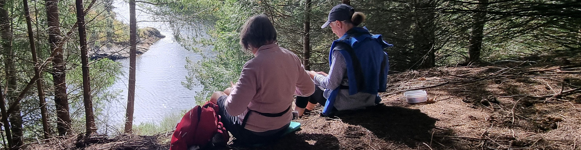
Luckily, it was a lovely, peaceful spot, overlooking the lake, so lunch was called.
Taieri Recreational Tramping club members enjoy a lunch break on their trip in March 2026 to Post Office Creek along the Mahinerangi Track, through Wenita’s Maungatua block, in Otago. Photo: Taieri Recreational Tramping Club.
Wenita had asked for feedback, so Peter mentioned the blockage and was told it would be cleared.
“They were really helpful.”
Benefits to landowners of public access
The information passed on by the tramping club is a good example of the benefits to Wenita of cooperating with public access, David Cormack says.
“We’re a small team with a lot of land, a lot of boundaries. We think of visitors in our forest as our eyes and ears, whether walking, biking or whatever.”
Other vital information can include fire danger and vandalism.
“We spend thousands of dollars fixing up fences, gates, signs and other things that people have shot, cut, and pulled over. It’s quite frustrating. But it’s not done by the people with permits to be there.”
David says the company’s cooperation with public access is partly about social license, in terms of being seen to be a responsible and sharing member of the community.
Showing the company’s role in caring for the environment was also valuable.
“Allowing people visibility of what’s behind the forest gates – trees growing well, land being looked after. It gives a positive impression of the company.”
Chief Financial Officer Kate Rankin said supporting public access also helped with recruitment, since people wanted to work in a place where the community and the environment were prioritised.
Supporting DOC with track maintenance, and hosting community events such as the recent Three Peak Race were other examples of public access efforts that were good for the company’s public image, she said.
David Cormack said the main advice he would share with other landowners, especially forestry owners, considering allowing public access is: don’t fear it.
“There are certainly benefits to having people in your forests. But go in with your eyes open. It can be a complicated process— it can be expensive. But, in our experience, the benefits have outweighed the disadvantages.”
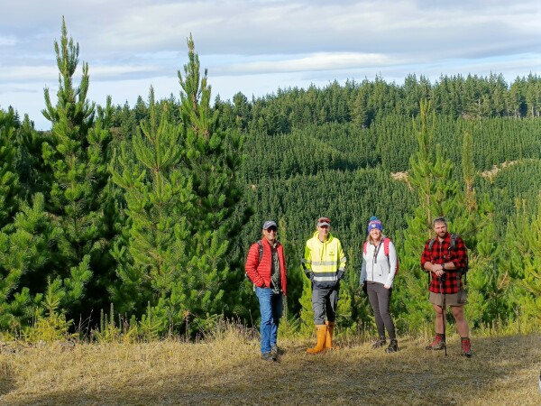
Allowing the public into forestry blocks has plenty of upside, Wenita's chief executive says.
One of those benefits was the ability to set and monitor access terms, such as through a permit system.
More broadly, people now expect to know what’s going on in forests and on farms, he says.
“In the past, landowners had the attitude: that’s our business, that’s private. But that’s no longer acceptable. We need to give people the opportunity to see with their own eyes how we’re treating and leaving the land, how we’re operating on it.”
Doing so filled in gaps in people’s knowledge.
“If you’re not prepared to do that, someone else will fill them in for you. And it won’t always be favourable.”
The 12 new public access routes created in Wenita’s forests
While these are open to the public, for safety reasons a permit is required, unless noted.
In Berwick Forest
1. Peerie Rd Water Race Track
It is 8.7 km via an undulating gravel road to the start of the Water Race Loop (beside the picturesque Peerie Rd pond). The recommendation is to proceed left up Peerie Rd then right onto Foulden Road so that the walking track section is downhill. Remnants of an old water race are marked on Rosemur Rd. The round-trip distance is 22 km. The track section is Grade 4 riding. Given the distance from the locked gate, the best option is by bike.
2. Browns Cottage and Wetlands Loop Track
From the locked gate at Prentice Rd, follow Glenburnie Rd for 5.8km to a historic cottage from the farming era. The cottage area is a good spot for a picnic, but the cottage should not be entered. Also, on Glenburnie Rd is a 1.2km Wetlands Loop Track (walking only) around an area of protected sub-alpine vegetation. Frosty conditions in hollows like this one create a microclimate that supports the growth of plants usually found at much higher elevations.
3. Mahinerangi Track
This is the second half of the Mahinerangi Walkway, and is accessed via DOC’s Government Track. After that 8 km walk or ride you enter Wenita’s forest and continue a further 4.5 km on forestry roads before the very pleasant walking/riding section around Lake Mahinerangi to Post Office Creek (another 5 km). This trail, through an interesting mix of tree species, follows old mining water races just above the lakeshore to some derelict historic buildings. Return is the same way unless holding a Wenita General Access Permit for the Maungatua block (only available on weekends). The track is mostly easy walking, or Grade 4 riding with a few unrideable bits.
4. Halfway Rd Reserve Track
From the locked gate on Prentice Rd proceed 4 km up to Halfway Rd then down that road to the Halfway Bush Covenant area. There are two marked loops within the native forest, each about 400m long. The mature podocarp forest remnant was protected by covenant in 2023.
5. Berwick-Waipori Track OYATI (Otago Youth Adventure Trust)
Original NZ Forest Service track linking the old Otago Youth Adventure Trust HQ area to the Waipori Gorge.
6. OYATI Old HQ Section
This track uses some of the old Forest Service track through plantings of various tree species that have since been harvested. A pleasant walk to the OYATI lodge.
7. OYATI Track
Starts at the OYATI Lodge and follows the road 500m to the OYATI pond. There are two walking options: the shorter, easier loop around the pond is about 500m, while the second heads upstream through manuka and regenerating native forest, adding about 1.1km. It is generally very lightly marked, as it is used as an adventure option in school activities.
In Mt Allan Forest
8. Long Ridge Track
This walking track along Wenita’s boundary links the Pulpit Rock area to Powder Ridge. If walkers remain on this track and outside Wenita’s forest, they do not require a permit.
9. Mt Allan Access
From a large parking area near the Taieri Gorge Railway line, head steeply up Mt Allan Rd to the north. The Mt Allan route to DOC’s Silverpeaks Reserve is 14.5 km. These roads involve climbing, so journeys here require plenty of time and good fitness. A gravel or mountain bike is the best way to travel.
Poplar Hut can be accessed via Mt John Road (10.5 km); however, it is not available as accommodation.
Mt Allan Rd is accessible until the end (9 km) but does not offer access to Taieri River.
10. Wingatui Viaduct Access
From a large parking area near the Taieri Gorge railway line there is access down to the Wingatui Viaduct (550 m) and the Taieri River (1.75 km).
In Otago Coast Forest
11. Welch’s Croft Track – Allanton Block
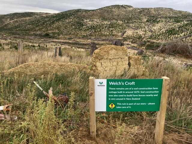
The remains of Welch’s Croft, an historic sod-construction cottage from the early Pākehā settlement era, can be accessed from a locked gate on Taieri Mouth Road. Follow Daphne Road uphill for 3.6km, then take a 200m track to the historic site.
12. Castle Hill Mine House Track – Kaitangata Block
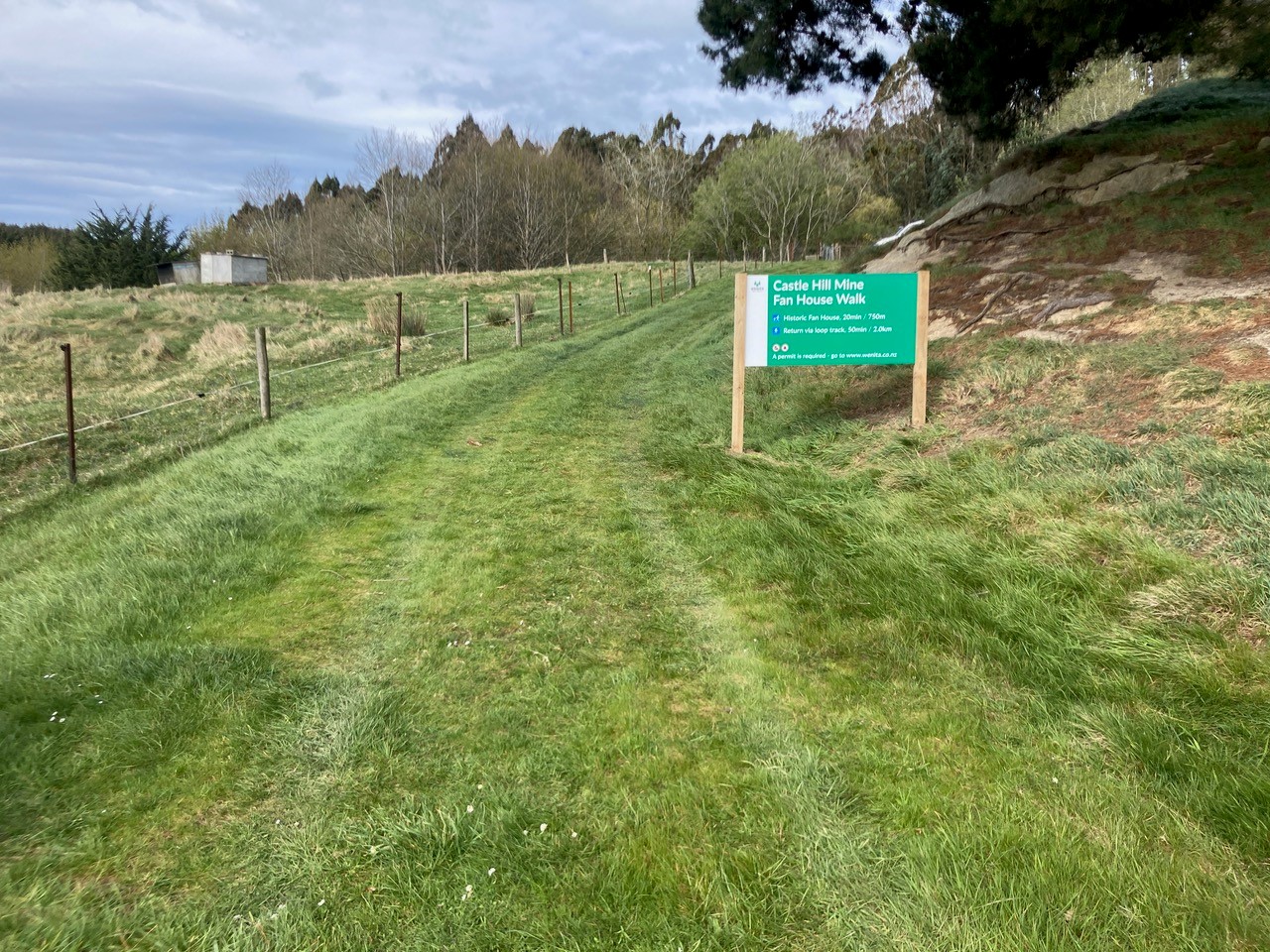
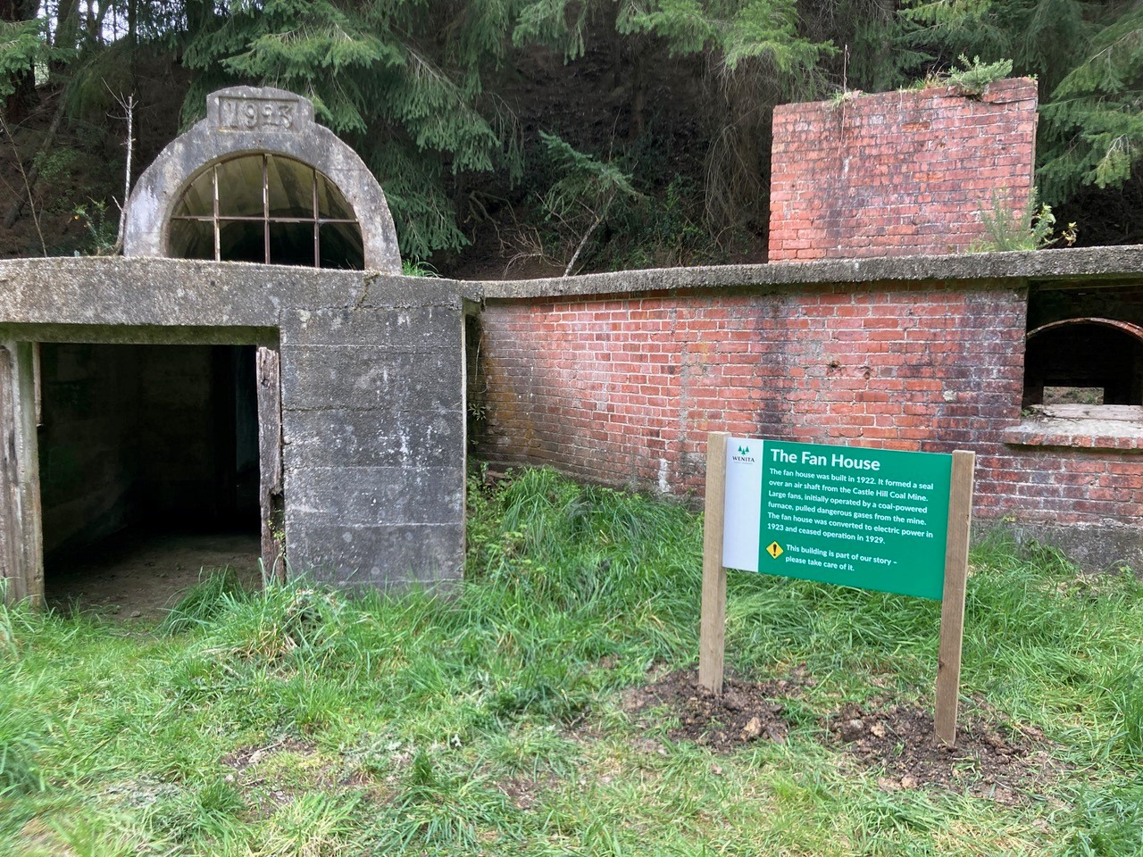
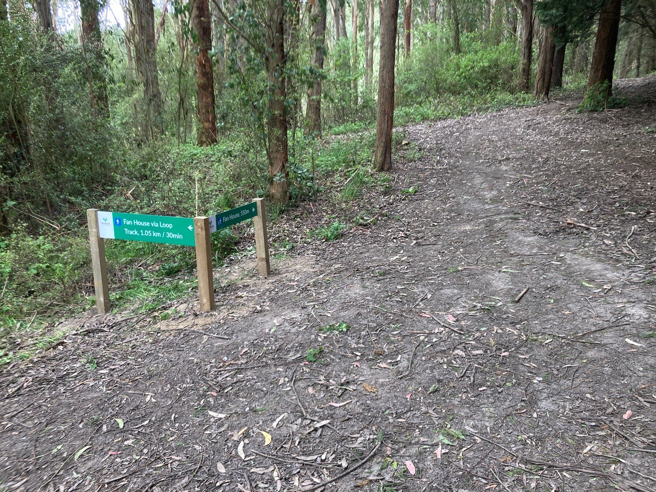
A very easy walk of 750m from Needles St to the historic Castle Hill Coal Mine fan house, completed in 1923. A fan house sits over a coal mine air shaft and uses large fans to draw out gases. The fans are gone now, but the intriguing building remains. Access to the building is not permitted. There is an alternative return route about 1km long.
More information:
Public access in Wenita’s forests
Benefits of creating legal access on your land
Visit our maps to see the easements, unformed legal roads, walkways and other ways you can get outdoors
Download our Pocket Maps app to take our maps with you into the wild
Responsible behaviour in the outdoors
Photos supplied by Wenita Forests