A long road to Steyning Spring
Twelve years ago, our Canterbury Field Advisor, Geoff Holgate, GPS-mapped the centreline of an unformed legal road in the Magdalen Valley high country, using co-ordinates derived from the 1876 SO 606 survey. Recently, its physical location has been questioned again.
Our GIS team has now aligned the original SO 606 co-ordinates with modern aerial photography. This comparison shows that the ULR’s depiction in the cadastre is significantly offset from the actual surveyed location.
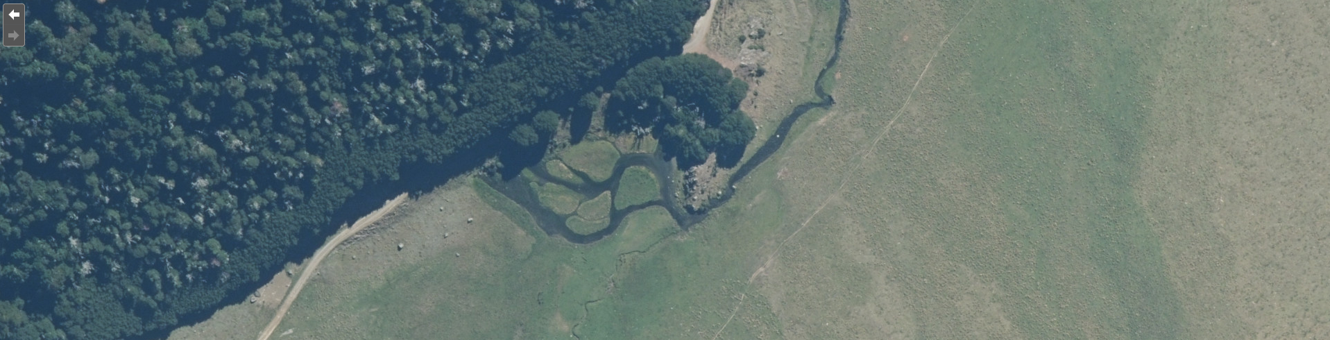
In one key area, the road is likely about 50 metres south-east of the cadastral representation—meaning it does not cross a large spring and wetland at Steyning Spring. This is good news for those planning to use the route, as it confirms there are no natural obstructions. (After all, it was walked and surveyed back in the day.) Current obstacles, such as fences, remain, but we are working on addressing them.
The unformed legal road is a useful link for horse riders and mountain bikers, opening up several loop options along the Waiau Uwha River and through Lake Sumner Forest Park and St James Conservation Area.
It’s been, and will continue to be, a long road—pun intended—but progress is happening.
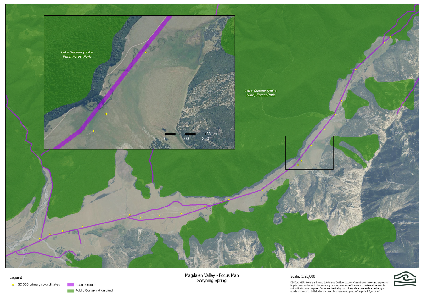
Magdalen Valley - Focus Map Steyning Spring