Photo by
Dave Young
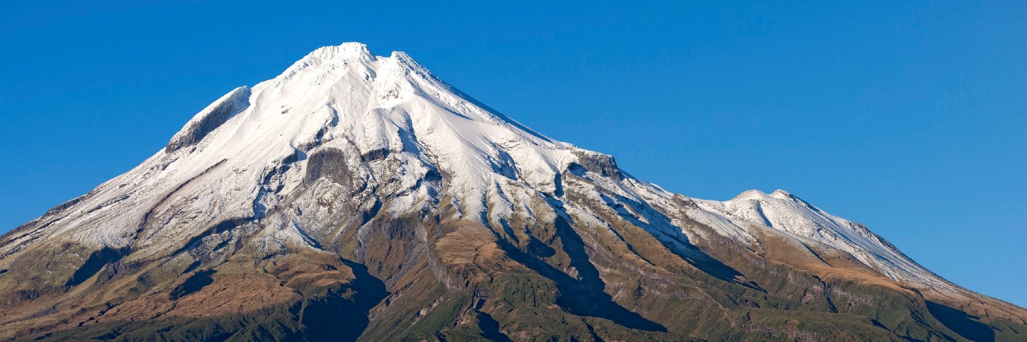
The western slopes of the mountain are known for their very high rainfall, resulting in many wet and boggy areas.
Time: 2:30 hours to the hut
Distance: 5.9 km
This track follows an old road that leads up to the remnants of the old Oanui Hut, before traversing across to Waiaua Gorge Hut, where there are spectacular views up the west side of the mountain.
A nice side trip is the 1 hr trip (1 way) to the Brames Falls lookout. A 30m high ladder leads down to the bottom of the gorge to cross the Waiaua River. This river is wide and prone to flooding.
Getting there: Access via Ihaia Road, Ōpunake.
Time: 2:30 hours to the hut
Distance: 5.9 km
There is limited car parking at the end of the road.
The Kahui track was once an old road ascending the western slopes of the mountain to Kahui Hut, the oldest hut in the park.
The Kahui holes can be found off to the side of this track. Very little is known about these holes that are circular and up to 7m deep, although some suggest local Māori used them to store bones.
Getting there: Access is via Kahui Road, off SH45 at Rahotu.
Time: 3 hours to the hut
Distance: 7 km
This track is a good entrance point for the Stony River, joining with the Stony River track to Bells Falls. It also connects with the Lower Around the Mountain Circuit.
A good full-day trip (8 hour return) is the Puniho Track to Stony River and on to Bells Falls.
The track walks along the true left of the river. Look carefully for track markers and be prepared to get wet feet when crossing tributary streams. Be aware this is a large river that is prone to flash flooding.
Getting there: Access is from Puniho Road, via Wiremu Road, Okato.
No dogs.
Seasonal restrictions: The track is closed from 1 August - 30 October every year for the lambing season. Alternate access to the falls is via the Mt Damper to Te Rerepahupahu Falls Track.
Getting there: Access is from Puniho Road, via Wiremu Road, Okato.

This trail currently has no photos.
Department of Conservation
This track is part of the Herenga ā Nuku Aotearoa track database. Herenga ā Nuku has maps and advice about public access to the outdoors.
We encourage you to continue gaining the skills and knowledge required for a safe trip. The NZ Mountain Safety Council has lots of free resources and information you can use. You can access them at www.mountainsafety.org.nz.
We recommend trying these online learning tools:
Additionally, check out the range of helpful videos available from the NZ Mountain Safety Council YouTube channel.
