Te Ara ki Hikurangi Walkway (Summit Route)
-
Walking
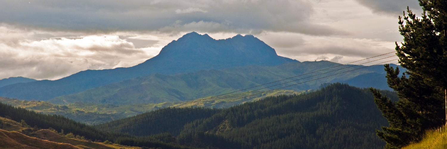
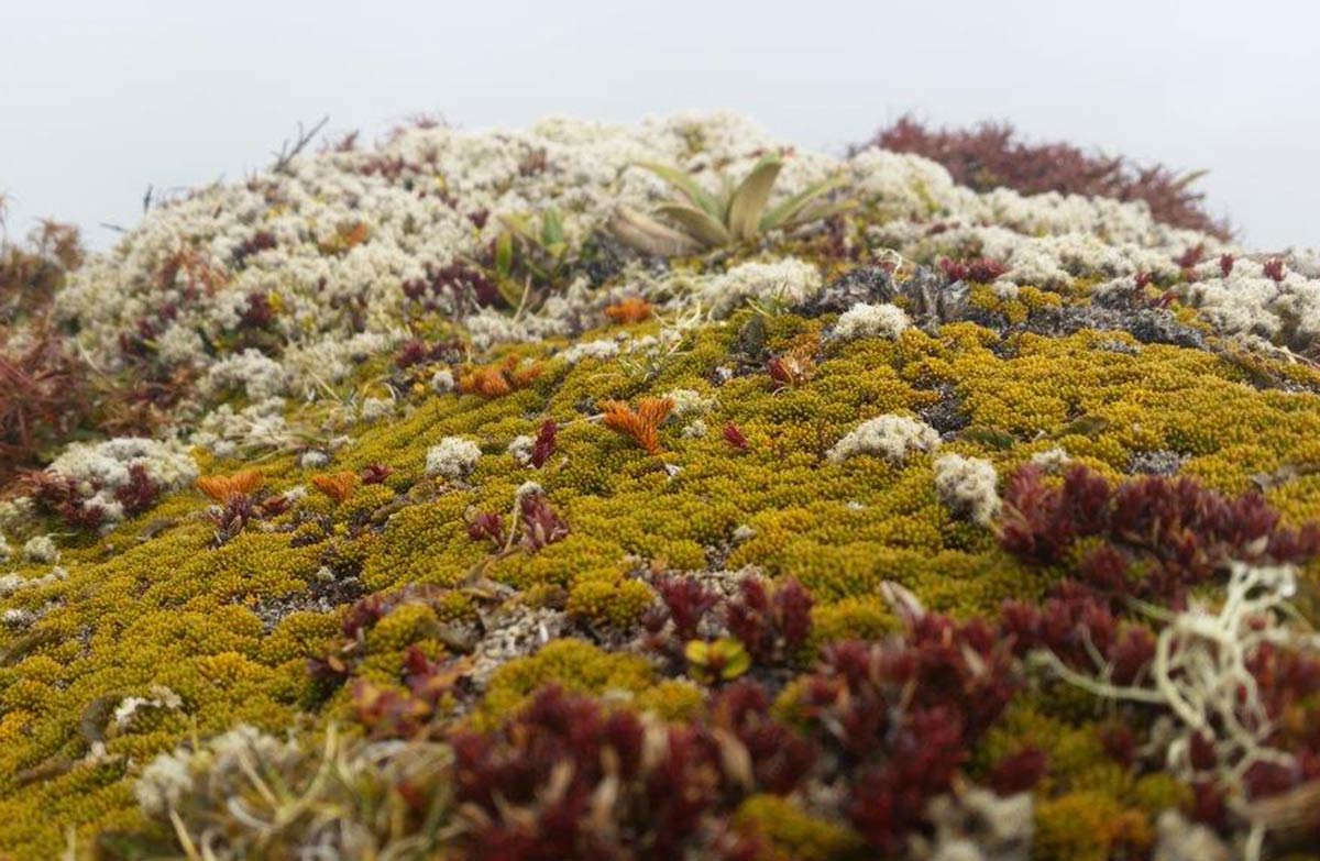
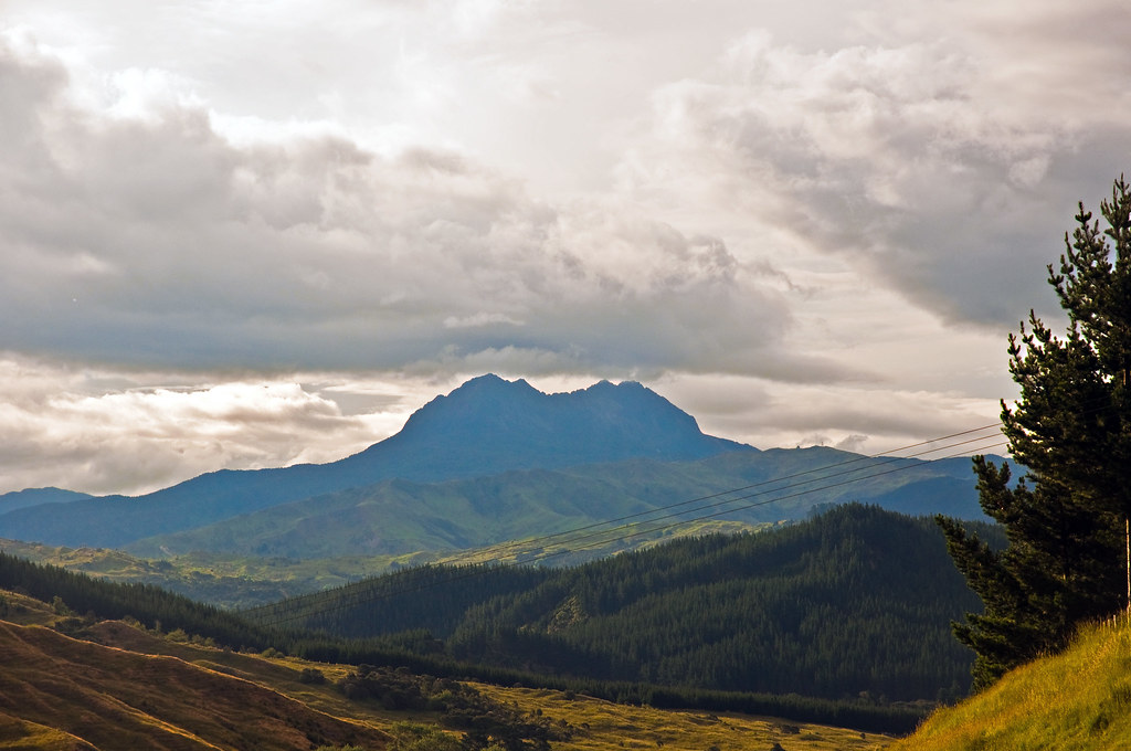
Te Ara ki Hikurangi weaves its way through private farmland and into alpine vegetation to the summit of Mount Hikurangi, the first point on the mainland to greet the morning sun. The mountain is also the resting place of Nukutaimemeha, the waka (canoe) of Maui, who is said to have fished up the North Island.
Hikurangi Maunga track is open but not maintained
The track up Hikurangi Maunga is open but has not been maintained since early 2020. Expect the track to be damaged and overgrown. We recommend that you do not attempt the track unless you are experienced in backcountry tramping, including with good wayfinding skills.
Te Ara ki Hikurangi walkway is located in the Ruakumara range, 130km north of Gisborne by road.
Te Ara ki Hikurangi track crosses private farmland - leave gates as you find them and don't disturb stock.Contact Te Runanganui o Ngati Porou before you start: phone: +64 6 864 9004, email: Hikurangihutt@tronp.org.nz or info@tronp.org.nz
Conditions
No dogs, no guns and no mountain bikes are to be taken onto Pakihiroa Station.
Mt Hikurangi is an alpine environment (1752 m). The weather is unpredictable and can change rapidly. Expect rain, fog, cloud, strong winds, snow and extreme cold at any time of the year. Be prepared to turn back if weather conditions deteriorate.
This track is designed for walking during daylight hours only and is not safe to attempt in poor visibility.
The last 400 m is a scree slope. It's steep with unstable footing. Watch your footing to avoid causing rockfall and injury – extreme care is required. Do not attempt in conditions that are wet, windy, icy or visibility is poor.
Gisborne Raukumara hunting: Where to hunt in the Gisborne Raukumara (doc.govt.nz)
How to get here
The track starts 25 km from Ruatoria. Turn off SH 35 (Te Araroa Road) onto the Tapuaeroa Valley Road and follow the signs for Pakihiroa Station. There is a carpark area before you cross the bridge onto Pakihiroa Station. There is no public vehicle access past this point.
Transport
Accommodation
Food And Supply
Track Elevation and Map

Total 2 photos. Click image above to view them all.
More information
This track is part of the Herenga ā Nuku Aotearoa track database. Herenga ā Nuku has maps and advice about public access to the outdoors.
We encourage you to continue gaining the skills and knowledge required for a safe trip. The NZ Mountain Safety Council has lots of free resources and information you can use. These can be accessed via www.mountainsafety.org.nz.
We recommend trying these online learning tools:
Additionally, check out the range of helpful videos available from the NZ Mountain Safety Council YouTube channel.

Page last updated: 26/09/2025, 12:30 pm