Swampy Ridge Track
-
Walking
-
Mountain Biking
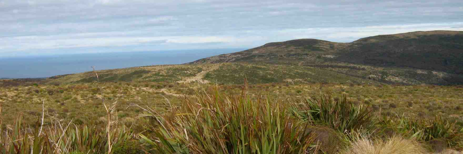
Swampy Ridge Track ascends to the 739m high Swampy summit for picturesque views of the surrounding area. Part of the track follows a 4WD track which showcases a vibrant red soil from which the region’s name is derived. The red ochre is known as takou in Māori and the name Otago comes from Otakou, meaning the place of the red ochre.
The track passes by peat swamps where Moa gizzard stones can be found. However, other animal remains disappear in the acidic soil and water.
Swampy Ridge Track links with other walking tracks in the area.
Conditions
Dogs with a DOC permit only.
How to get here
Swampy Ridge Track can be accessed from the carpark on Semple Road in the settlement of Waitati or from Flagstaff-Pineapple Walkway.
Transport
Accommodation
Food And Supply
Track Elevation and Map

No photos!
This trail currently has no photos.
More information
This track is part of the Herenga ā Nuku Aotearoa track database. Herenga ā Nuku has maps and advice about public access to the outdoors.
We encourage you to continue gaining the skills and knowledge required for a safe trip. The NZ Mountain Safety Council has lots of free resources and information you can use. These can be accessed via www.mountainsafety.org.nz.
We recommend trying these online learning tools:
Additionally, check out the range of helpful videos available from the NZ Mountain Safety Council YouTube channel.

Page last updated: 21/06/2024, 1:30 pm