Photo by
A gift to the community from the Pukekohe Tramping Club for its 50th Anniversary, the Five Summits Trail is a fantastic near-half marathon loop (21km) covering many landscapes that walkers can undertake in one go or in part. The trail uses the many off-road walking paths in the area through numerous parks and reserves and links the five main summits of the town.
The Pukekohe Five Summits trail celebrates five decades of Pukekohe Tramping Club members tramping the hills across New Zealand. Club members created the Five Summits Trail, which circumnavigates central Pukekohe, to commemorate their anniversary. It includes the five local hills, which are fascinating geological features, to offer good views of both urban and rural surroundings.”
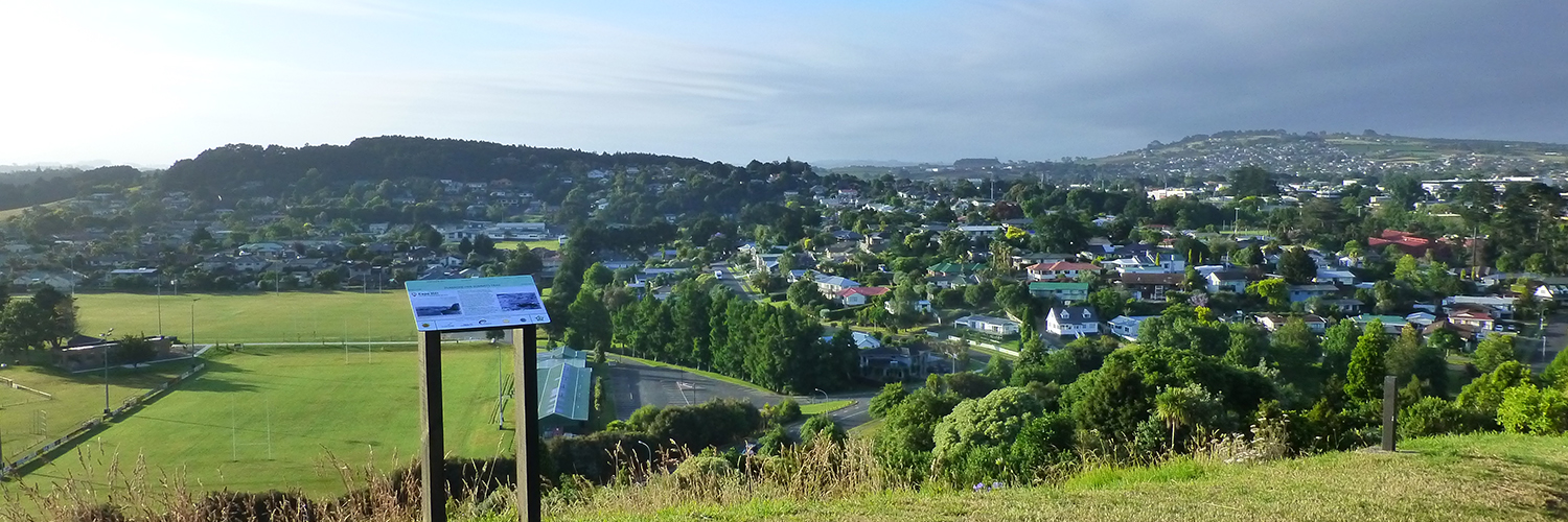
The trail starts and finishes at Pukekohe Train and Bus Station, where you will find map signboards on the walking bridge above the railway lines. It heads west to Bledisloe Park and weaves along quiet roads, through pathways and reserves to the top of Pukekohe Hill, 222 metres above sea level and the highest point in the immediate area.
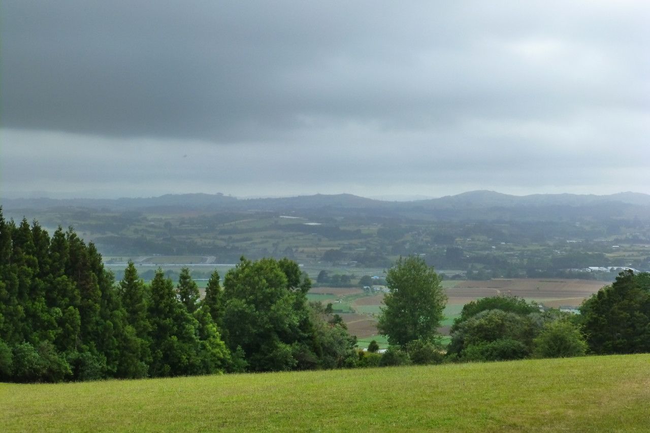
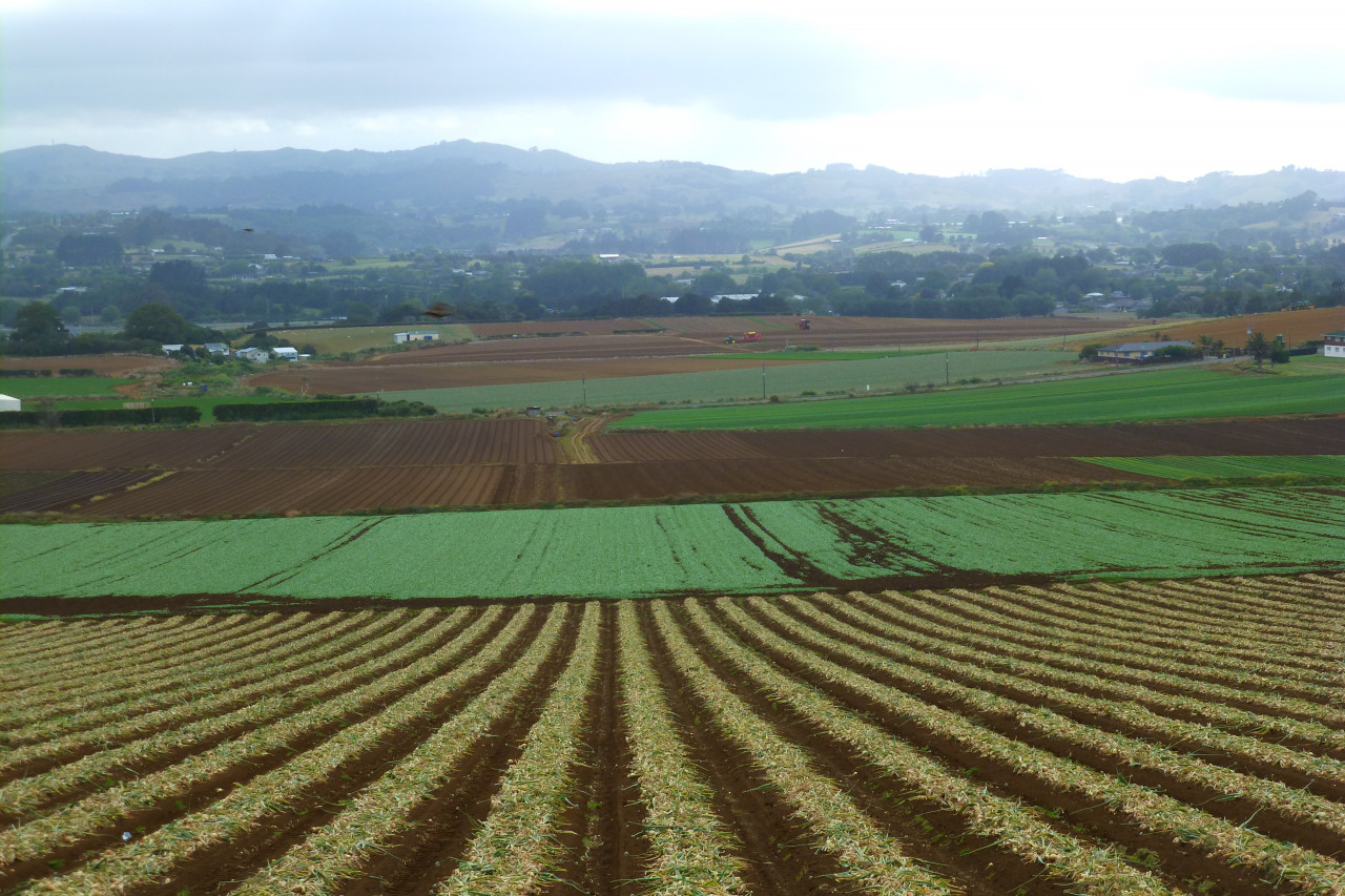
From Pukekohe Hill, the trail heads north to Belmont Rise, passing paddocks growing vegetables for market, traversing reserves and pathways, and along quiet suburban roads.
Belmont Rise to Cape Hill, the trail wanders down the Whangapouri Stream to Helvetia Rd, either on a true tramping trail on the northern side or pathways and quiet suburban roads on the southern side. It then continues towards Paerata Road through parks and reserves alongside the stream.
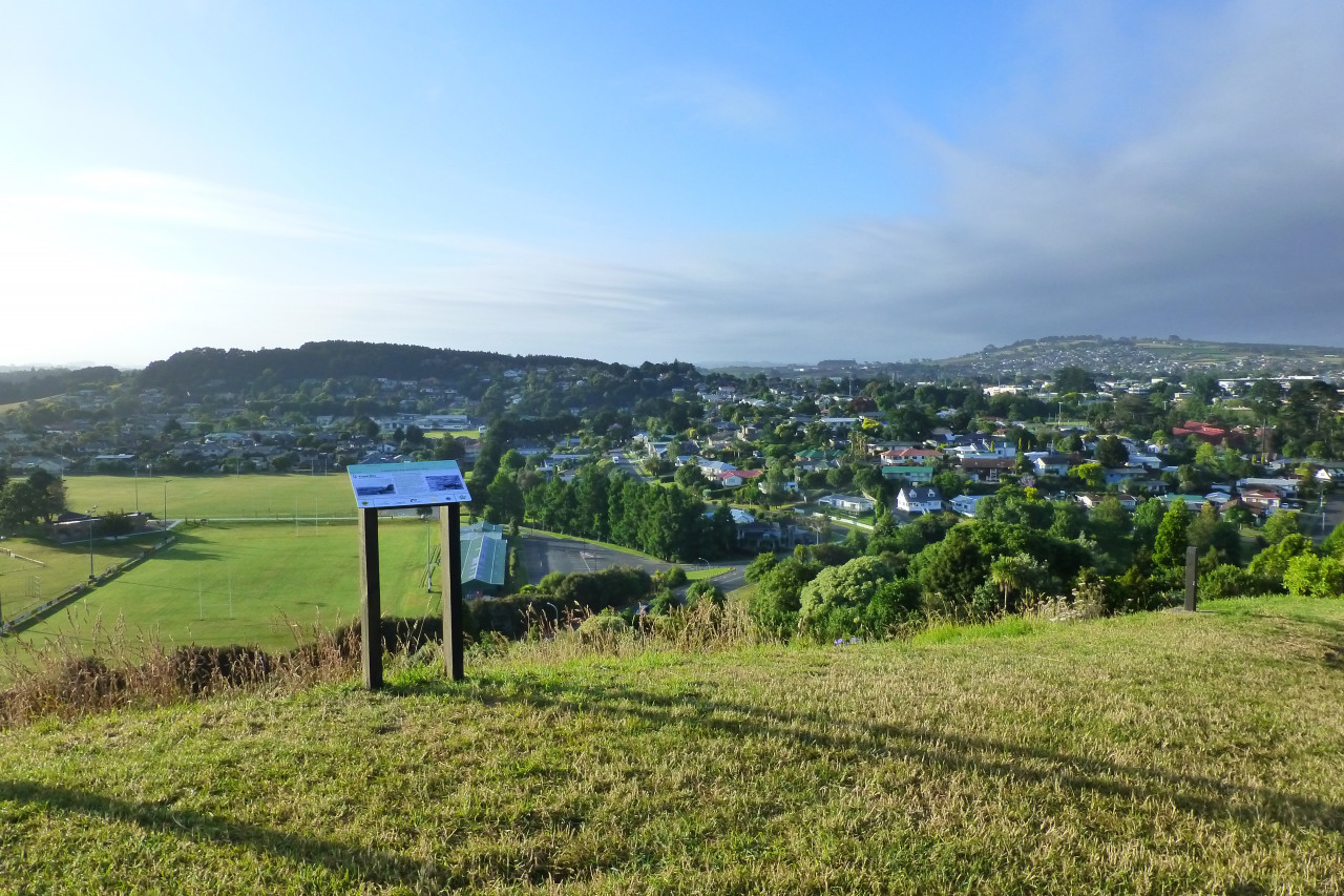
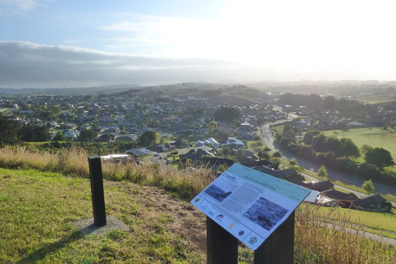
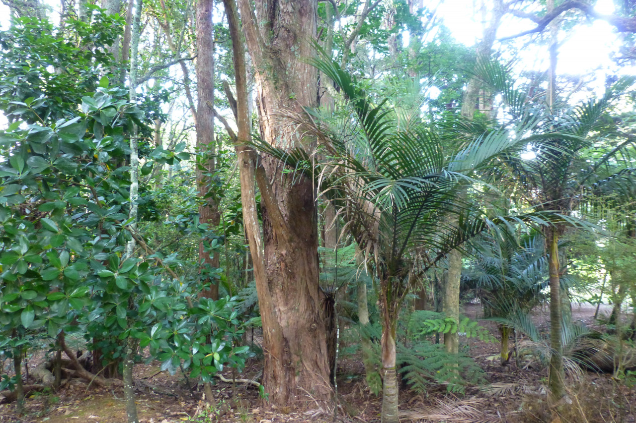
After crossing Paerata Rd, the trail continues east under the railway to Ernie’s Reserve and up to Cape Hill through native bush planted to commemorate Pukekohe’s early settlers. From the top of Cape Hill, stunning views can be enjoyed of virtually the whole trail – all five summits.
The trail then winds down Cape Hill and branches east through native bush, along a boardwalk, out onto quiet streets, across Valley Road, through a Watercare reserve and snakes its way up to The Rock.
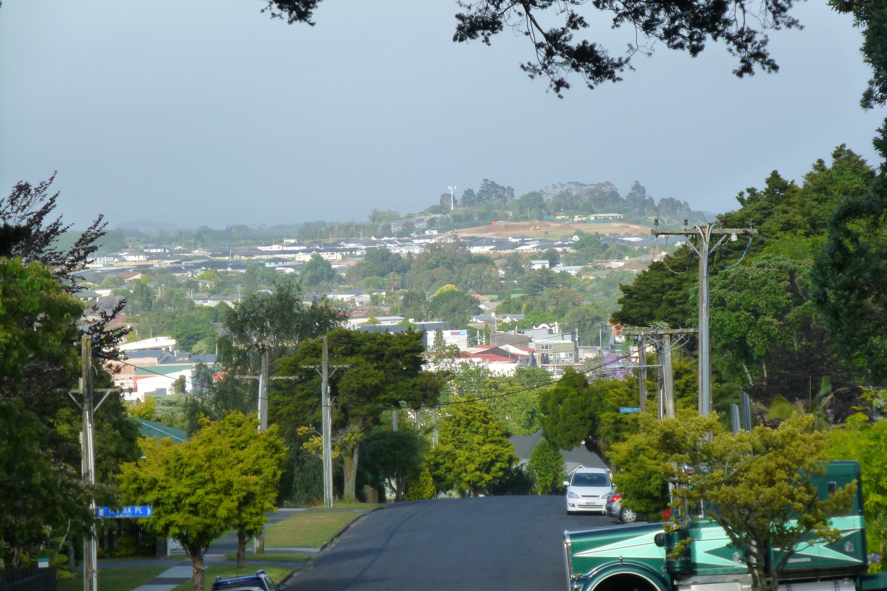
The Rock, also known locally as Raven’s Rock, is a reserve with a grassy knoll that affords great views across Pukekohe township. From here, the trail heads southwest to Rooseville Park.
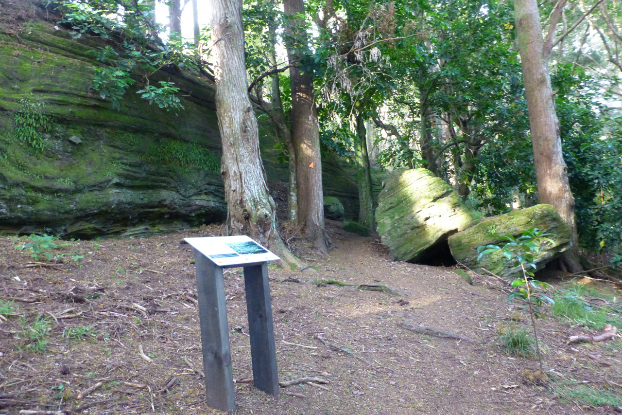
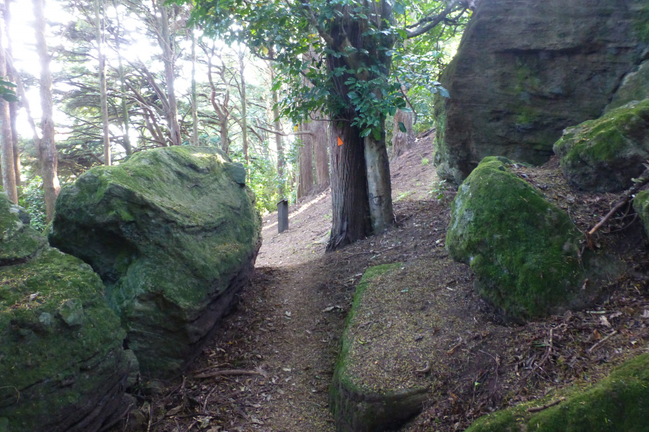
Rooseville Park is beautiful – a grand canopy of mature native trees hosting abundant birdlife and song. A tramping trail heads up from the road to the top of Rooseville Park, past stunning rock formations to open out into a peaceful lawn area surrounded by lovely bush. A great place to relax or picnic while you reflect on the many scenic variations observed along the trail.
From Rooseville Park, the trail heads west, downhill through quiet streets and pathways back to the Pukekohe Railway Station.
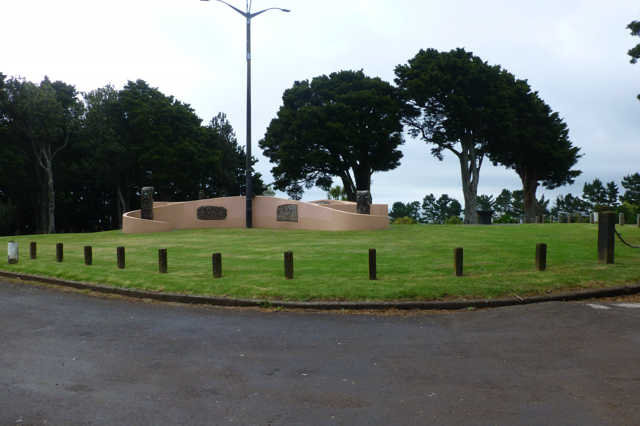
Check out the storyboards on each summit and in the parks and reserves – absorb some of the fascinating histories behind the formation of Pukekohe township and surrounding areas.
The trail is mostly cycle-friendly (hybrid tyres recommended). Where cycling is not practical, alternative routes are on the map that eventually link back to the main trail. The track is a mix of concrete, gravel, dirt and grass, is open all year and dogs on leashes are permitted.
All dogs must be on leash.
The trail starts and finishes at Pukekohe Train/Bus Station, 40 Station Road. Map signboards of the trail are available on the walking bridge above the railway lines. Train/bus timetables can be found on the Auckland Transport website. Parking and toilets are also available at the station.
For other entrances/exits, you can view this street map of the trail route:


Total 9 photos. Click image above to view them all.
This track is part of the Herenga ā Nuku Aotearoa track database. Herenga ā Nuku has maps and advice about public access to the outdoors.
We encourage you to continue gaining the skills and knowledge required for a safe trip. The NZ Mountain Safety Council has lots of free resources and information you can use. These can be accessed via www.mountainsafety.org.nz.
We recommend trying these online learning tools:
Additionally, check out the range of helpful videos available from the NZ Mountain Safety Council YouTube channel.

4 years ago