
Puhoi to Wenderholm Walk Bypass
-
Walking
Should tides not suit, or you don't wish to pay for kayaking from Puhoi to Wenderholm - it can be walked.
Puhoi to Wenderholm Walk Bypass - 6.5km
Please wear a hi-viz vest and/or pack cover if available.
From the Puhoi Domain, turn left/east and walk 1200m and under the Motorway Bridge to Pahuehue Road. Cross with caution and turn right/south, following the east side of the road for 4.5km to Wenderholm Regional Park (Schischka Road).
It is 1km down the driveway to the start of the next route.
For northbound walkers using the road bypass. The motorway north of the Johnstone's Hill tunnels is not shown on some Topo maps. Do not use the access road that crosses above the tunnels. Descend the hill, remaining on the eastern side of the highway. Turn left (west) under the motorway bridge at bypass km 1, signposted to Puhoi
Conditions
Cross Pohuehue Road (previously SH1) with extreme caution as cars are travelling at 80-100km/h. Walk as far off the road shoulder as you can, on the far side of the barrier fence where this is possible. The elevated motorway is now SH1
Potential hazards
- Vehicles on road or track. Walk well off the road, over barrier where possible
- Motorway construction and road works. Follow any instructions given by traffic management staff and signage.
- Track exposed to sun, wind or cold
- Few water sources
How to get here
Northern Start: Puhoi Village
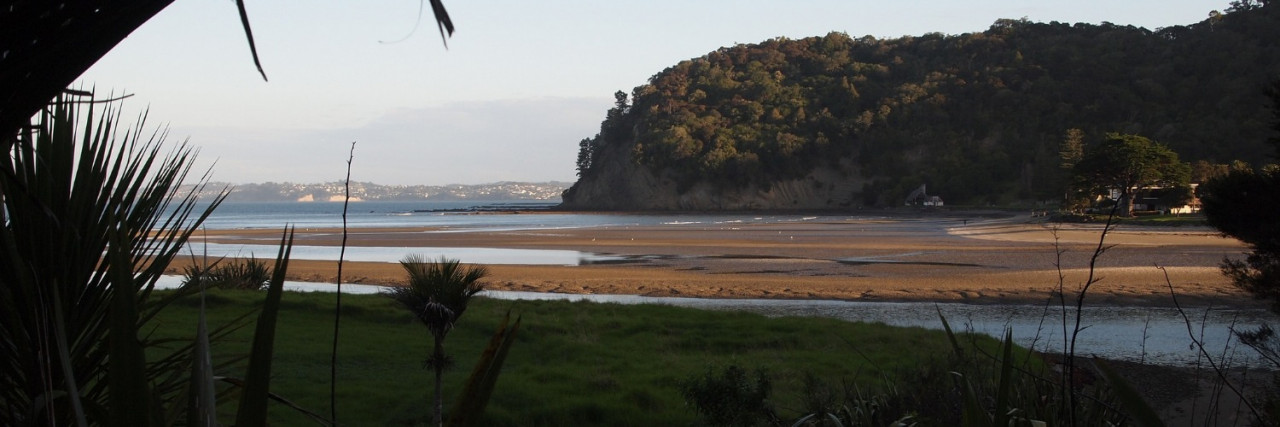
Southern End: Wenderholm Regional Park
Transport
Accommodation
Wenderholm Regional Park - Basic camping, duty ranger - Auckland Council - P: 09 366 2000
There is camping available at the Schischka Campsite, turn left and walk 1km just after the Wenderholm main gates.
Please do not freedom camp anywhere else within Wenderholm Regional Park.
Food And Supply
Track Elevation and Map

Total 1 photos. Click image above to view them all.
More information
Check the Trail Alerts Status page
Before starting Te Araroa either as a through-walker of the whole country or a section walker, please register on Te Araroa website. Please also visit the website or download the app for detailed maps, trail alerts and other relevant information.
This track is part of the Herenga ā Nuku Aotearoa track database. Herenga ā Nuku has maps and advice about public access to the outdoors.
We encourage you to continue gaining the skills and knowledge required for a safe trip. The NZ Mountain Safety Council has lots of free resources and information you can use. These can be accessed via www.mountainsafety.org.nz.
We recommend trying these online learning tools:
Additionally, check out the range of helpful videos available from the NZ Mountain Safety Council YouTube channel.

Page last updated: 26/09/2025, 3:35 pm