Motutapu Walkway
-
Walking
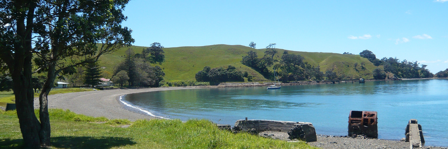
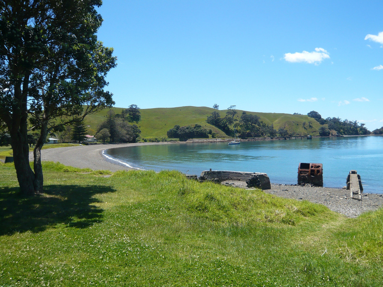
Set on beautiful Motutapu Island, the Motutapu Farm Walkway offers a scenic journey from Home Bay on the island’s east coast to Islington Bay, on the west coast.
The walk includes areas of regenerating native bush and provides panoramic views across the Hauraki Gulf from the 120-metre-high trig point. Sections of the route are poled across private farmland. For those who want to explore further, there are a variety of other tracks linking with this walkway.
Conditions
No dogs.
Bring water with you — drinking water is not readily available on the island.
A torch is essential to explore the tunnels and military sites.
Please ensure you have plenty of time to complete your walk and catch the ferry.
How to get here
The Motutapu Walkway starts at the southern end of Home Bay.
Transport
Accommodation
Food And Supply
Track Elevation and Map

Total 1 photos. Click image above to view them all.
More information
This track is part of the Herenga ā Nuku Aotearoa track database. Herenga ā Nuku has maps and advice about public access to the outdoors.
We encourage you to continue gaining the skills and knowledge required for a safe trip. The NZ Mountain Safety Council has lots of free resources and information you can use. These can be accessed via www.mountainsafety.org.nz.
We recommend trying these online learning tools:
Additionally, check out the range of helpful videos available from the NZ Mountain Safety Council YouTube channel.

Page last updated: 26/09/2025, 4:44 pm