Long Gully Track
-
Walking
-
Mountain Biking
Long Gully Walkway climbs through orchards and farmland up to dramatic rock bluffs, which look out over Clutha Valley, Lake Dunstan and Pisa Range. You can also see the Remarkables and Hector mountains from the walkway.
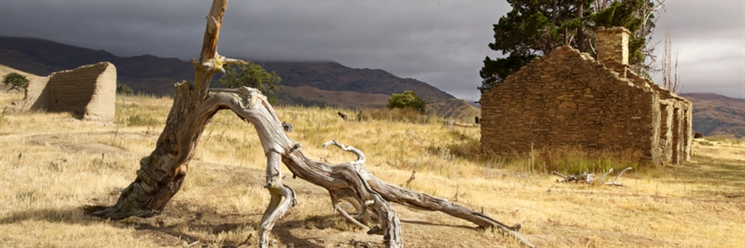
The walkway finishes at the boundary of the Long Gully Bluff Conservation Area. The beginning of the track goes through the ruins of Stewart Town, an old mining village. Visitors may catch a glimpse of the New Zealand falcon from the walkway.
Conditions
Long Gully Walkway is only open to the public on Sundays and Mondays. It is closed for lambing from 1 October to 30 November. Some sections of this walkway cross private land. Visitors are asked to stick to the marked route and respect all signposted conditions of access.
How to get here
Long Gully Walkway is signposted from the Bannockburn Sluicings Historic Reserve, off Felton Road.
Transport
Accommodation
Food And Supply
Track Elevation and Map

No photos!
This trail currently has no photos.
More information
Department of Conservation: Bannockburn walks
This track is part of the Herenga ā Nuku Aotearoa track database. Herenga ā Nuku has maps and advice about public access to the outdoors.
We encourage you to continue gaining the skills and knowledge required for a safe trip. The NZ Mountain Safety Council has lots of free resources and information you can use. These can be accessed via www.mountainsafety.org.nz.
We recommend trying these online learning tools:
Additionally, check out the range of helpful videos available from the NZ Mountain Safety Council YouTube channel.

Page last updated: 21/06/2024, 2:30 pm