Photo by
Dave Young
The Boars Head Mine track is closed until further notice.
Loop Time: 2 - 3 hours
Distance: 4.3 km
The short but challenging Sefton Track can be linked with the Waimoku Track to make a loop that returns to Lucy’s Gully.
The Sefton Track begins by the carpark where it crosses an unbridged stream then winds steeply uphill for 2 km before meeting with the Waimoku Track junction. Turn left and head downhill to return to the car park. The stream crossing can become impassable after heavy rain.
Getting there: The Sefton Track begins in Lucy’s Gully. From New Plymouth, follow Devon Street West south, continuing on coastal SH45, 5 km past Oakura. Turn off at the signposted access road.
Time: 2 hours to the trig
Distance: 3.5 km to the trig
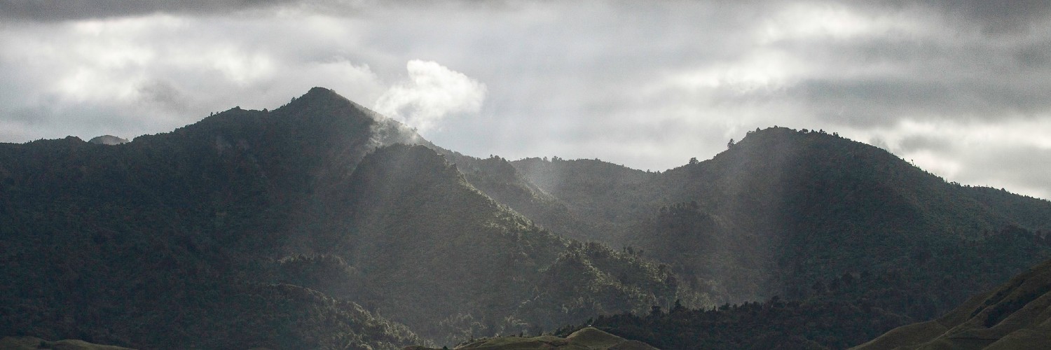
This track leads up through forest to the Patuha Trig (682 m) offering great views along the coast and up to Mt Taranaki.
The last 100m section of track to the trig is a scramble up an exposed rocky section which some people may find a challenge.
An easier alternative route up to the trig is via the Davies Track. From the trig take the Waimoku track back down to the car park, or turn left onto the Sefton Track which will return you to Lucy’s Gully just below the Waimoku Track entrance.
Getting there: The Waimoku Track begins in Lucy’s Gully. From New Plymouth, follow Devon Street West south, continuing on coastal State Highway 45, 5 km past Oakura. Turn off at the signposted access road.
Trig Time: 2 hours to the trig
Distance: 4.2 km to the trig
Leaving the Surrey Hill Road end, the route climbs through farmland, following marker poles to the edge of Egmont National Park. From here it climbs steadily through the bush to Patuha Trig, offering great views of the coastline and up to Mt Taranaki.
This walk can be combined with the Waimoku Track (total 4 hour trip) to descend into Lucy’s Gully. You will need to organise transport to pick you up.
No dogs.
When crossing farmland respect private property, leave gates as you find them and stay on the route.
The track is accessed from Surrey Hill Road, off Wairau Road, Oakura.

This trail currently has no photos.
https://www.doc.govt.nz/parks-and-recreation/places-to-go/taranaki/places/egmont-national-park/things-to-do/tracks/kaitake-range-walking-tracks/
This track is part of the Herenga ā Nuku Aotearoa track database. Herenga ā Nuku has maps and advice about public access to the outdoors.
We encourage you to continue gaining the skills and knowledge required for a safe trip. The NZ Mountain Safety Council has lots of free resources and information you can use. You can access them at www.mountainsafety.org.nz.
We recommend trying these online learning tools:
Additionally, check out the range of helpful videos available from the NZ Mountain Safety Council YouTube channel.
