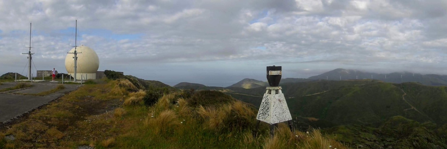
Te Kopahou Loop
Communications Advisor Stephen Day shares his favourite Wellington trail run - the South Coast's Te Kopahou Loop, traversing over rugged hills and coastline:
There is a track that every Wellington runner knows, jokes about and dreads. It’s called the Tip Track. In ain’t pretty. It’s 3.5 kilometres of unrelenting claggy, stony uphill grind from Owhiro Bay up to the Hawkins Hill Radar Dome. As its name suggests it goes past the council tip. So, if the wind is blowing the wrong way, escaped plastic bags will decorate the nearby bushes. But you won’t be bothered by that because if the wind is blowing, you’ll be watching your feet, not the view, so as not to be knocked over.
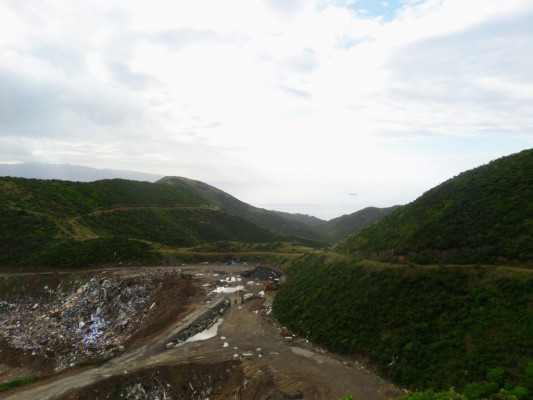
It’s also the starting section for one of my favourite trail running loops.
Most people have only ever seen the Radome from the distance – a giant golf-ball-shaped structure on the top of Wellington’s South Coast hills. It’s nearly 500 metres above sea level which is why most people have not seen it up close. Who knows what its purpose is. Maybe North Koreans built it to spy on us. Maybe it’s someone’s garden shed. Maybe it is actually an oversized gold ball. It matters not for runners. Because for you, it simply marks the top:
Once there you celebrate the incredible, rugged views, south across the Cook Strait, east across Wellington Harbour and north towards Karori. But don’t look west because there lie even more gnarly hills and tempting half-tracks calling to you like tussock-clad sirens:
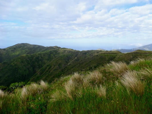
Run past the short stretch of tarmac and back onto the steep Radome Track. You’ll plummet down, down, down towards little Waipapa Stream. Then you’ll lift your head once more, no longer fearful of tripping over your feet on the loose rocks and mud. And you will realise you have no way out of this secluded, pretty valley but straight up the steepest hill you have ever seen. You’ll briefly consider sitting down. You’ll ponder if it’s possible to settle here, founding your own isolated community. Anything rather than climbing that hill. But the lack of cell phone reception and Netflix will eventually convince you otherwise. So up you go once more.
At the top of the climb you’ll see yet more sweeping vistas of the Cook Strait and South Island. Yawn. Seen it all before. One hill ago:
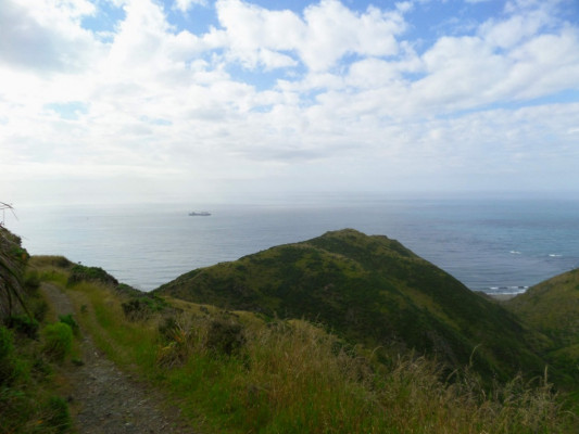
One more sharp zig-zig descent, this time following the stream all the way out to the beach. Then blessed, flat compressed sand all the way to the finish.
Along the way you’ll see the famous Pariwhero Red Rocks, stained red with Maui’s blood and used as bait to catch Te-Ika-a-Maui:
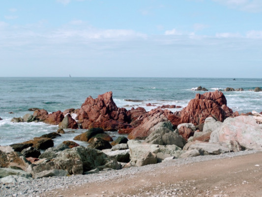
If you’re lucky and they are on the rocks for the day, you’ll also hopefully see the South Coast seal colony. If you’re less lucky you’ll not see them, just smell them. Seals have a BO problem of teenage boy proportions.
From the seals, it is a short jog back to your starting point the Kopahou Visitor Centre at Owhiro Bay.
--
Route:
Start at Te Kopahou Visitor Centre (carpark and toilets available) Head up Owhiro Bay Road and Happy Valley Road before turning left onto the Tip Track. From the top of the Tip Track turn left, head past the Radome and continue until the start of the Radome Track. Connect to the Red Rocks Track, follow it out to the beach and Pariwhero. Follow the beach east back to your starting point.
Length of run
13 km, with about 700m of ascent/descent.

