Providing accurate information about public access to the outdoors
Herenga ā Nuku works with DOC, Toitū Te Whenua (LINZ), councils and other organisations to access spatial data that forms the basis of our mapping system. This data populates the publicly available maps on our website and smartphone app. These maps provide accurate, helpful information on where the public can find legal public access. Our maps enable people to make informed choices.
WAMS (Whenua Akeake Mahere System)
WAMS is our desktop mapping system. It is how we provide data in a form that the public and staff can interrogate and use.
In the last year, we undertook a significant map refresh project that included Google logins so users can save their work (drawings, labels, zoom location and so on), share it with their friends and family and come back to it at a future time, simplified information pop-ups, improved symbology, and making LINZ’s Topo 50 map the default basemap.
Pocket Maps
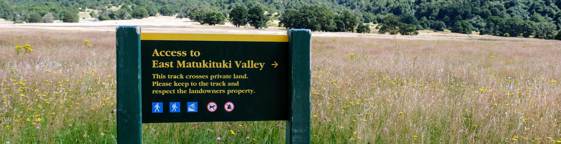
Pocket Maps is our mobile mapping application. Users who want to navigate an unformed legal road across private land can use the Pocket Maps app which provides offline maps which interact with a phone’s GPS location.
We released a custom built offline topographic basemap for Pocket Maps in June. An offline topographic basemap was the most asked-for change from the Pocket Maps community. It ensures that hunters and anglers have the detail they need where they need it in remote places.
Data Improvement Program
Identifying public access across all of Aotearoa from the cadastre can be complex and requires a lot of data. A 2018 report on map data quality highlighted shortcomings of our data processes and identified possible improvements. We are undertaking a Data Improvement Program, which aims to create a public access dataset with significantly improved accuracy for the people. The programme tackles this head-on by rebuilding the logic that extracts various access types from the cadastre.
Three key outcomes of the program are:
- Identifying more access types from the cadastre.
- Identifying new and changed access automatically every month.
Partnering with MSC to support Plan My Walk
Herenga ā Nuku continues to support the Mountain Safety Council’s Plan My Walk App. We contribute and maintain GIS data for over 200 tracks and provide funding to help the Mountain Safety Council develop the app.