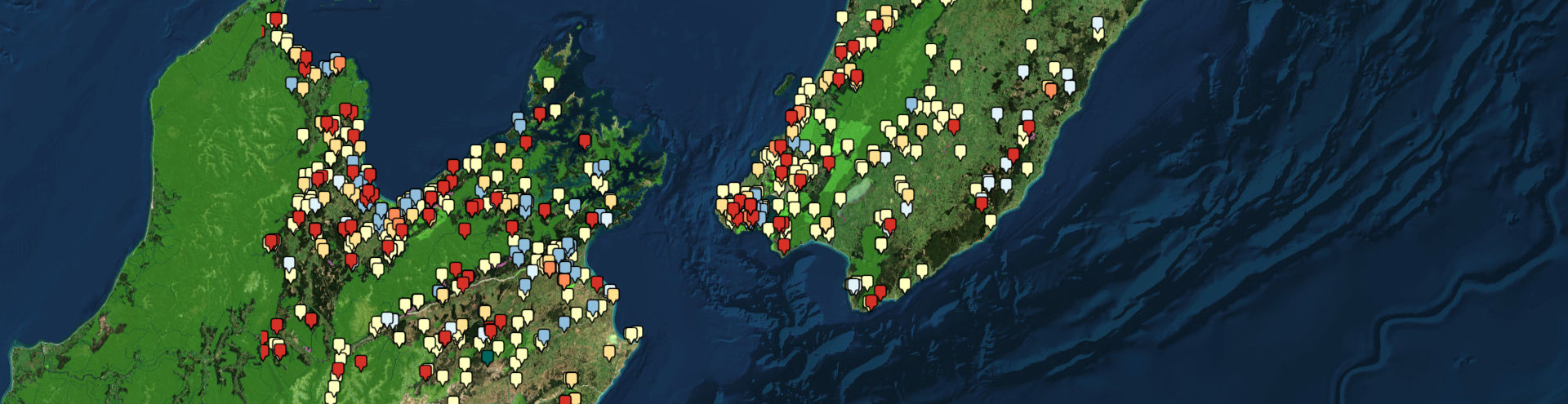
Discover the Herenga ā Nuku Case Map
The Herenga ā Nuku Case Map shows almost all the cases the commission has dealt with or is still dealing with. It is a valuable tool for enhancing transparency and public knowledge of access cases across New Zealand.
Initially, we developed it as part of our internal case management system. However, the data is of interest to the public, so we decided to make it accessible to everyone. We have anonymised the data and removed some cases where privacy outweighed the public interest in us sharing the data.
The case names on the map may not fully represent the nature, outcomes, or locations of the cases, but the map offers a comprehensive overview of cases affecting public access. Each case on the map includes its ID number, case type, land type, and the dates we opened and closed it.
The map contains the following types of cases:
- Access Dispute Cases, where public access is disputed or obstructed.
- Enhanced Access Grants, where we are funding projects that improve local and regional access opportunities.
- New Access Cases that support community aspirations and projects.
- Overseas Investment Office Cases that support the implementation of public access conditions imposed on overseas investors as part of their consent.
- Road Stopping Cases, which deal with applications, or road stopping proposals under the Local Government Act 1974 or the Public Works Act 1981, and
- Tenure Review Cases are cases where we provided evidence on access opportunities for the tenure review process.
The Herenga ā Nuku Case Map will help individuals and groups better understand public access issues in their region. It helps identify historical hotspots and compare them to our public access areas.
For those seeking further clarity or wishing to delve deeper into specific cases, we encourage you to contact our operations team with the case ID number. They can usually provide more detailed and accurate information about your inquiries.