Public access to marginal strips
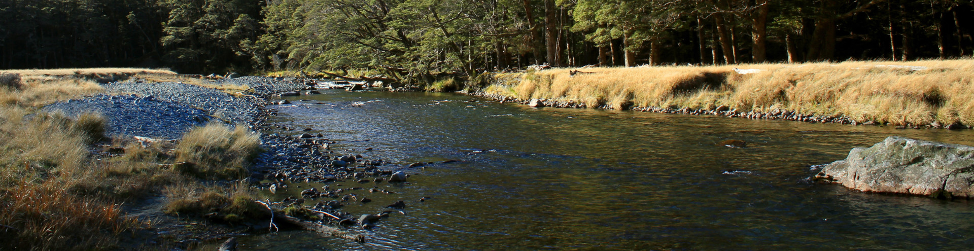
Marginal strips are parcels of Crown-owned conservation area land, generally 20m wide, adjoining some parts of the coast, lakes larger than 8ha and rivers wider than 3m.
Access
Marginal strips provide public walking access and access to the water. Other access permissions vary across locations. Marginal strips can be closed temporarily.
Our maps
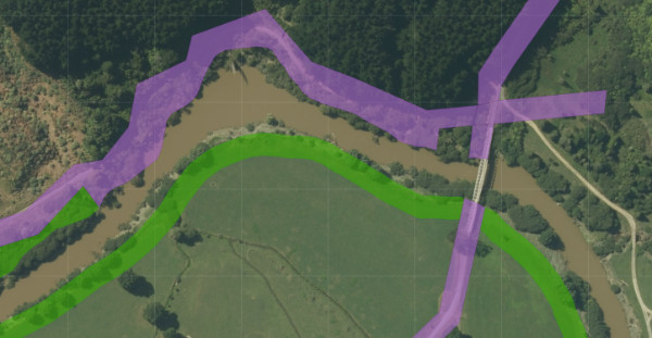
Marginal strips that have been surveyed appear in our maps as part of the layer ‘DOC Public Conservation Land’ (green). The area shown above also shows legal road (purple). Open map
Marginal strips created between April 1990 and June 2007 have not been surveyed as land parcels. Land Information New Zealand (LINZ) data does not generally show these marginal strips, so they do not appear in our maps.
Creation and administration
Marginal strips are created automatically on the disposal of Crown land, reserving the water margin from disposal. Since 1987, they have been created under Part 4A of the Conservation Act 1987. They were previously made under various Land Acts.
Marginal strips are administered by the Department of Conservation (DOC).
Erosion and accretion
Marginal strips created since 1990 move with the relevant water boundary to ensure public access endures into the future. Those created earlier are fixed and are affected by erosion and accretion.