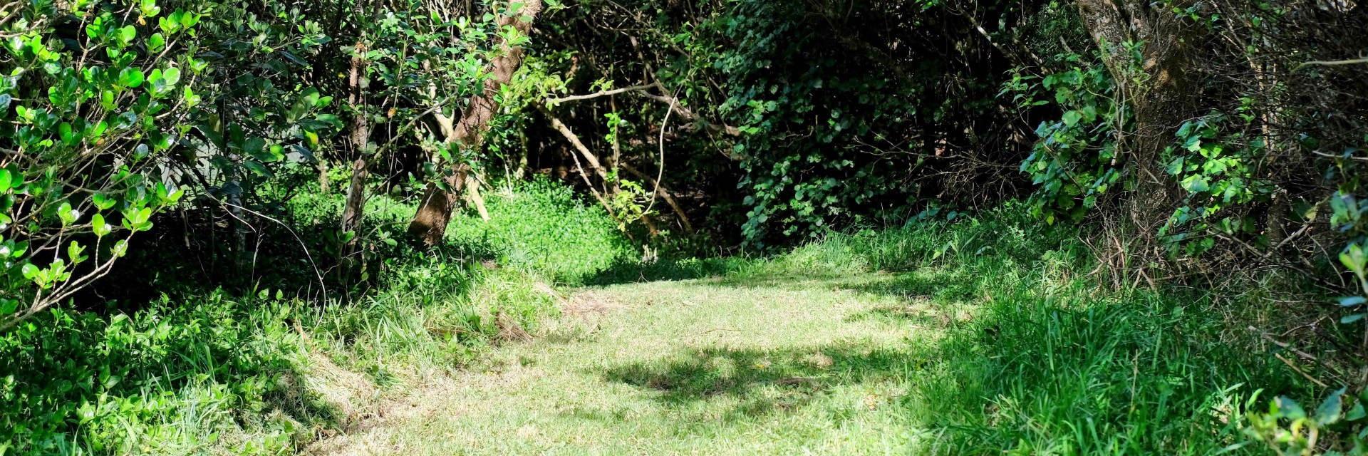
3000 hectares of outdoor access added to maps
Herenga ā Nuku Aotearoa, the Outdoor Access Commission has added more than 1400 reserves of publicly accessible land to its maps this week. The combined area of the reserves, 3000 hectares, is twice the size of Blenheim.
Herenga ā Nuku’s tumuaki | chief executive Ric Cullinane says the newly accessible data means people can explore more of New Zealand.
"Trampers, hunters, mountain bikers and people walking dogs will all be able to explore more of the motu, knowing they are not trespassing."
Herenga ā Nuku’s Geospatial Information Systems team has spent three months compiling the data and testing it to ensure it is accurate.
Cullinane says in 2016 Herenga ā Nuku used an automated process to run a set of queries against Land Information NZ parcel data to identify land parcels that allow public access.
"Over time, the query started to show mistakes, so we needed to stand the automatic query down and update the public access areas manually as we identified new data."
Our last three months of work have identified the thousands of hectares of previously unmapped public access.
Most of the 1400 parcels of land are small, and they are scattered all over Aotearoa. Cullinane says even though they are small, they are all a part of the network of public access for people to walk on and explore.
"They connect us to the whenua and to each other."
Herenga ā Nuku’s free public access maps (known as WAMS) are the most accurate database of publicly accessible land in New Zealand. They also show tracks, conservation land, property information and hydro parcels. They are widely used by outdoor recreationists, track builders and local government officials.