Korokoro Stream Track
-
Walking
-
Dog Friendly
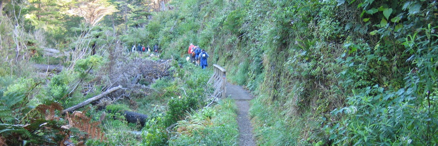
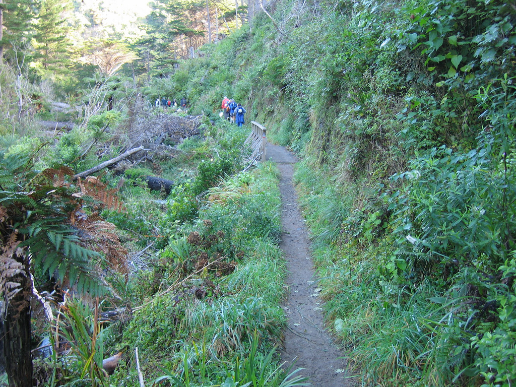
This evenly graded track follows an old steel pipeline from the Cornish Street entrance upstream through mature and regenerating bush to the Korokoro Dam. The dam was the first gravity fed concrete dam in New Zealand, built to supply water for the Petone Borough in 1903.
Return the same way or exit via Oakleigh Street.
Conditions
- Not suitable for mountain buggies.
- Dogs OK - keep them under control and remove droppings.
The park has moderately steep hills and is exposed on the tops to wind, rain and mist. Weather conditions can change quickly so please:
- check the weather forecast before your trip
- carry warm and waterproof clothing and enough food and drink for your trip
- carry sun protection
- plan your route and tell someone your intentions
- wear strong lace-up boots or walking shoes avoid streams during heavy rain
Dogs under control are allowed in the Korokoro, Stratton Street and Dry Creek Valleys. Dogs are not permitted on farmland. Permission is required for horse riding in the farming area. Please keep to the marked routes as you walk, cycle or ride in the farming areas.
How to get here
Via State Highway 2: Cornish St - a 10-minute walk south-west from the Petone Railway Station via the pedestrian overbridge and Pito-One Road. Or take the Korokoro exit from SH2 and follow Pito-One Road to the park entrance. Oakleigh St via Dowse Drive or take a No. 150 bus from Petone Railway Station or Lower HuttStratton St via Dowse Drive. The park entrance is at the end of Stratton StHill Rd via Grounsell Crescent or take a No. 145 bus from Melling Railway Station (peak hours Mon-Fri)Kaitangata Crescent, Kelson or take a No 150 bus from Lower Hutt or Waterloo Interchange to the top of Major DriveDry Creek via Hebden Crescent, near the SH2 and SH 58 (Haywards Hill) intersection. The park entrance is a 10-minute walk from Manor Park Station.
Via State Highway 1: Cannons Creek via Mungavin Ave and the Cannons Creek Lakes Reserve. Enter from the Cannons Creek Shopping Centre car park.
Take a No.61 bus (Mon-Sun), 63 bus (Mon-Sat) or 64 bus (Mon-Fri) from Porirua Railway Station to Cannons Creek, Takapu Road, Grenada North. Trains from Wellington stop at Takapu Road station.
Transport
Accommodation
Food And Supply
Track Elevation and Map

Total 2 photos. Click image above to view them all.
More information
This track is part of the Herenga ā Nuku Aotearoa track database. Herenga ā Nuku has maps and advice about public access to the outdoors.
We encourage you to continue gaining the skills and knowledge required for a safe trip. The NZ Mountain Safety Council has lots of free resources and information you can use. You can access them at www.mountainsafety.org.nz.
We recommend trying these online learning tools:
Additionally, check out the range of helpful videos available from the NZ Mountain Safety Council YouTube channel.

Page last updated: 25/09/2025, 2:52 pm