Contact an advisor to investigate or negotiate public outdoor access.
Get the app to take our maps with you just about anywhere.
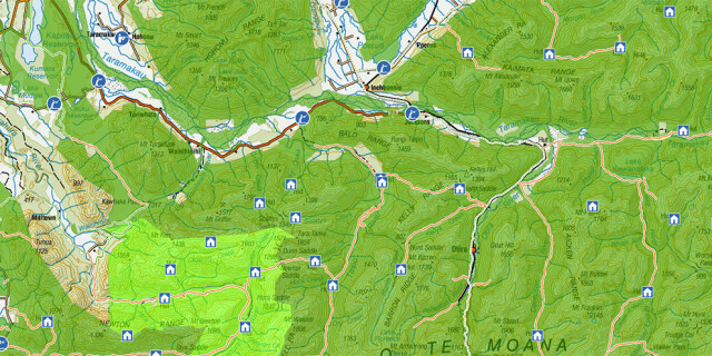
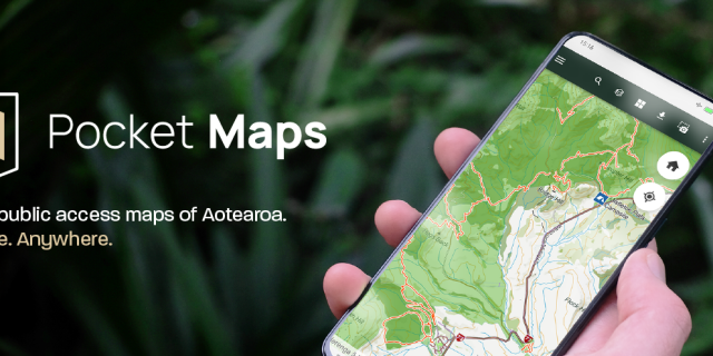
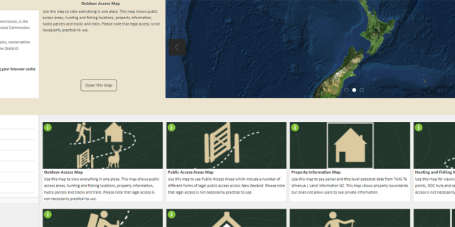
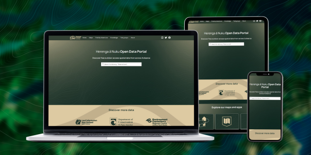
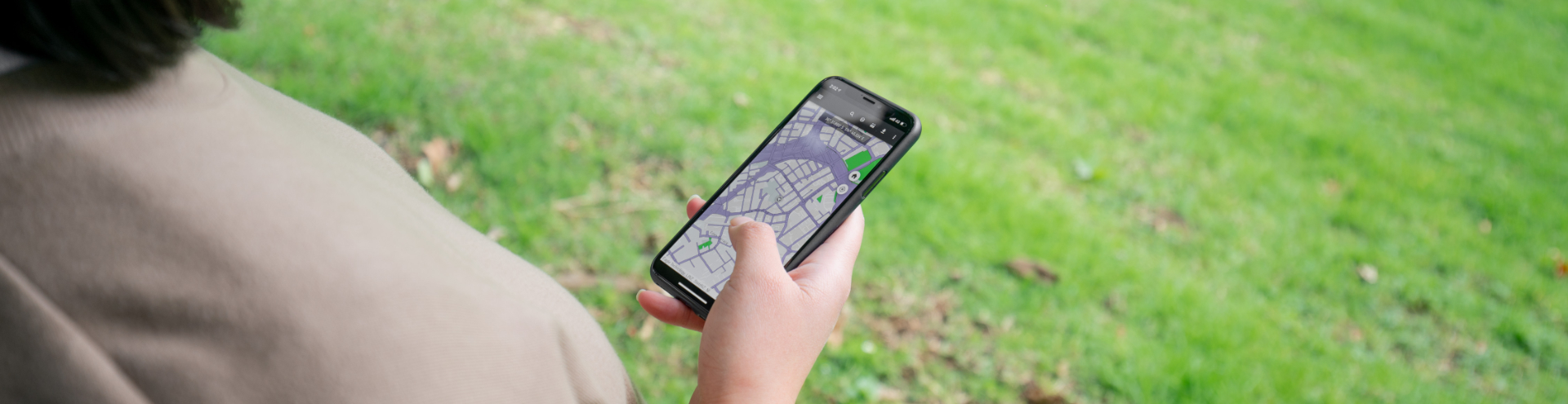
Find public access areas to walk, cycle, hunt, fish, horse ride or otherwise enjoy Aotearoa New Zealand's outdoors.
Pocket Maps is a mobile app that shows public access areas across Aotearoa. Take your maps offline and use Pocket Maps in the outdoors, whenever you need it.
Discover public access spatial data from the New Zealand Walking Commission | Ara Hīkoi Aotearoa. Explore, visualize and download free GIS data now.
Explore walking and tramping tracks near you. Get track alerts, weather forecasts, a gear list and build a simple trip plan you can share with others.
A help guide to using our Maps. Learn about individual maps, navigation, map tools, saving maps, data, and disclaimers.
Page last updated: 5 October 2023