Improved GPS accuracy for Pocket Maps users
A state-of-the-art satellite positioning system based in Southland is improving GPS accuracy to within 10 centimetres.
Until recently, GPS positions on phones and handheld GPS devices were accurate to about 5 or 10 metres.
This improved accuracy means most people using PocketMaps and other Herenga ā Nuku maps can be much more certain of their location. Outdoor recreationists can be more certain that they are on public access land rather than private property. Farmers and other landholders can be more confident about the boundaries between their property and public access spaces such as unformed legal roads.
The New Zealand and Australian governments collaborated to bring high-resolution positioning to Australasia by creating the Southern Positioning Augmentation Network (SouthPAN). SouthPAN augments and corrects satellite navigation data, even in remote areas of New Zealand and maritime zones.
It means that GPS accuracy for most devices in New Zealand and Australia has improved to less than 3 metres of horizontal accuracy. This includes smartphones, smartwatches, GPS devices and drones that are currently single-band (L1 frequency) GPS enabled.
As people switch to new multi-band GPS (L5 frequency enabled) enabled mobile devices, such as the latest smartphones, SouthPAN will improve accuracy to less than a metre, and potentially as close as 10 centimetres.
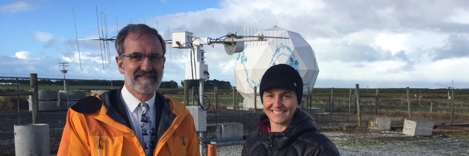
The SouthPAN Satellite Ground Station in Awarua is being run by Southland’s Space Operations NZ, whose chief executive officer is former Herenga ā Nuku Aotearoa board member Robin McNeill.
Download the latest version of Pocket Maps
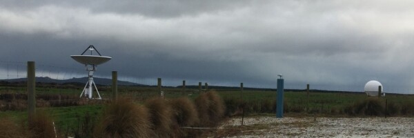
Awarua Satellite Station