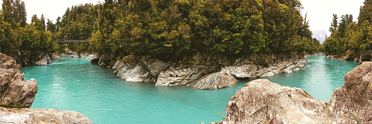
Access to Rivers
By Inger Perkins, West Coast Regional Field Advisor
Riverbanks and riverbeds are often thought to be entirely publicly accessible and a term is frequently used as part of this expectation - the Queen’s Chain.
The Queen’s Chain is a shorthand term for public land that exists alongside most waterways and the coast. However not all rivers and lakes, and not all the coast is bordered by public land. ‘The Queen’s Chain’ is not universal or unbroken. Some rivers have public land on one side but not on the other. Some have no public access on either side, and some have gaps in public access along portions of the river.
So, for people who want to walk down, swim in or fish in rivers the answer is not always simple.
If the river is owned by the Crown then you are generally free to stand in it. There is not an automatic right of public access. But, so long as your public access is not in conflict with some other Crown use (such as a hydroelectric dam), then the Crown doesn’t mind you getting your feet wet.
But finding out who owns a river is not always simple. The best way to do so is to visit the Walking Access Commission’s online maps. If the relevant part of the river is entirely within a private land parcel, then it is probably private. If the river is designated as a ‘hydro area’ within the mapping system and is bounded on each side by public land, it is probably Crown-owned.
Where a private land parcel borders a river that is not navigable, the owner of the land has what is called usque ad medium filum aquae (AMF) rights. That’s a complicated legal way of saying the landowner to the side of the river also has ownership of the adjoining riverbed to the midpoint of the river. This right is not the same as a complete right of ownership. But it does give the landowner the right to keep other people out. So, you would need to seek the permission of the adjoining landowner before you swam, fished or stood in that half of the river.
Potentially you could stand in the other side of the river though.
This situation becomes more complicated over time because rivers have a habit of moving, eroding one side, accreting on the other. Legal boundaries for land don’t generally move, but sometimes they do move to follow the course of a river. For instance, public esplanade strips, often 20m wide, that border a river will move with the river. But some other types of legal boundaries stay still even as the river accretes.
For example, the bed of the lower reaches of the Whataroa River in South Westland is largely Crown land managed by Land Information New Zealand (LINZ) and described as ‘hydro’. In parts, it is bordered by unformed legal road and in parts by public conservation land, both of which will allow for public access, but these boundaries do not move. In some cases, the river has eroded into private land and there both the bank and the bed of the river are not accessible without permission from the landowner.
In another example in a shallow creek near Hokitika, a query arose a few years ago about public access and it was found that the creek had eroded through the Crown land managed by LINZ, through the unformed legal road that followed the edge of the old mapped riverbed, and into the freehold land beyond on one bend, and into the private land on the other side at the next bend.
Yes, it’s complicated! Fish & Game have made life easier, identifying key river access points, but have a look at our maps to find out more - they include angler access points - or get in touch and we’ll do our best to provide clarity about access for a specific site.