4 ways to get more from the roar with public access maps
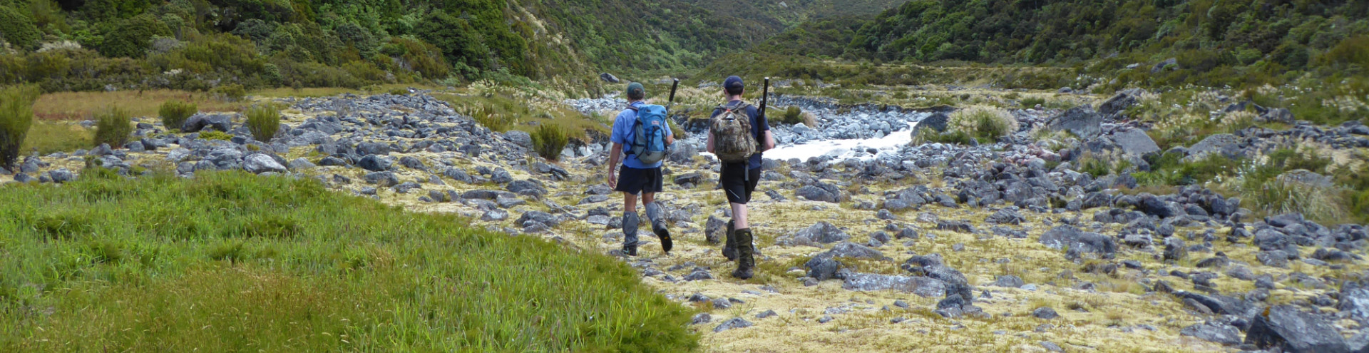
This roar, will you stick to a hunting patch you know like the back of your hand, or explore somewhere new? Or will you maybe look for a more convenient route into a block you’re familiar with? Hunters can get more from their missions by discovering little-known public access areas, such as unformed legal roads, and by having easy access to boundary information in the field.
Check out these 4 simple ways to use Herenga ā Nuku online maps and the Pocket Maps app to get more from the roar this year.
1. Find hidden access points to hunting areas
A Topo 50 map is essential, but it doesn’t show any of the 56,000 unformed legal roads all open to the New Zealand public. These 20m wide strips are often indistinguishable from surrounding land, and many connect to public conservation land. When you’re carrying a 12-pointer on your back, a short route out can be handy.
The easiest way to find unformed legal roads is by browsing the Herenga ā Nuku Outdoor Access map. Make sure the Public Access Areas layer is turned on, then switch the basemap to Topo 50. Zoom in to see where legal roads (in purple) exist but aren’t formed or shown on the Topo Map. You can also use the satellite imagery basemap to preview real-world terrain.
Get even more from the maps – learn how to screenshot, draw on, measure and share the map data, or even upload your own data as an extra layer.
Note, where an unformed legal road appears to be blocked, you still have legal access. Follow our advice to resolve access issues as smoothly as possible.
2. Check your location with a tap of your smartphone, even offline
Install the free Pocket Maps app to download legal road parcels and other public access area boundaries for your region. Activate your phone’s Location setting and you can zoom straight to your current location on the map, even when you do not have coverage for wifi, calls or texts.
The app is most accurate when used in the open, away from large structures, and should not be used as a substitute for a personal safety device.
New Pocket Maps features coming soon
Currently, the Topo 50 basemap isn’t available offline in Pocket Maps, though it’ll likely be included in a later update. Before that, there are a host of improvements coming to Pocket Maps in early April [edit 18 May 2023: these have now launched]:
- An improved interface: get easier access to features such as screenshots and basemaps.
- More content layers: including tracks and trails; Department of Conservation huts and campsites; and Fish & Game hunting and fishing access locations.
- Improved basemaps (online only): see the topography of an area with the new hill shading option and benefit from richer aerial imagery now overlaid with roads, locations and boundaries.
- Elevation profiles (online only): click on a track to see its elevation profile.
- News and easier updates: see occasional news and available app updates on the start screen.
- Offline help documentation.
Check the app store to install the updated Pocket Maps app:
3. Pack more into your GPS unit
If you’d rather use your handheld GPS unit instead of your phone, you can draw on the Outdoor Access Map and export those drawings as GPX files to import to your unit:
Downloadable GPX files make accessing hidden spots easier
You can also download raw data (eg, KML, Shapefile) from our open data portal, but bear in mind most GPS units cannot process polygons.
4. Avoid unpleasant encounters with private landholders
Don’t let a great trip be ruined by an argument over trespassing. It’s easy to stray off the route when public access areas aren’t clearly bounded on the land, or to get into an argument about access boundary locations. With the Pocket Maps app, you can easily check your location and use it as a visual aid when discussing access with others.
If you do plan to request access to cross private land, check out the advice from Herenga ā Nuku:
Good hunting
Hunting helps us connect with the land and with each other. It benefits our physical and mental health and puts food on the table. Next time you go hunting and get away from the demands of modern life, why not use a little modern technology first to get the most from your trip?
P.S Have a hmm on your next hunt – Mountain Safety Council share some tips on preventing hunting-related injuries.