The Queen’s Chain calmly carries on but incomplete
When Queen Elizabeth died, many people asked how our daily life would change. Stuff noted that Queen’s Counsel would need to become King’s Counsel, coins with pictures of the Queen would slowly be replaced and passports would bear the name of the new King.
But one thing that won’t change is the Queen’s Chain. That’s because, legally, it doesn't exist. The term Queen’s Chain stems from a myth that among Queen Victoria's instructions to New Zealand Governor William Hobson in 1840 were orders to reserve such strips around the whole coast, lakes and rivers.
The term Queen’s Chain stems from a myth
The Queen’s Chain is a shorthand term for public access that exists alongside waterways and the coast. However, not all awa and lakes, and not all the coast is bordered by public access. ‘The Queen’s Chain’ is not universal or unbroken. Some rivers have public land on one side but not on the other. Some have no public access on either side, and some have gaps in public access along portions of the river.
No guaranteed access to water
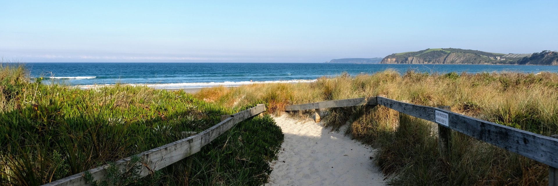
So, for people who want to walk down, swim in, or fish in rivers, lakes or the beach, the answer is not always simple. The Queen did not guarantee a right of access to whenua that's beside water.
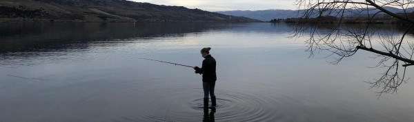
You're free to get your feet wet in most Crown-owned rivers. Photo: Abby Jago
If the river is owned by the Crown, then you're generally free to stand in it. There's not an automatic right of public access, but, so long as your public access is not in conflict with some other Crown use (such as a hydroelectric dam), then the Crown doesn’t mind you getting your feet wet.
Find out on our maps
Finding out who owns a river is not always simple. The best way to do so is to visit our online maps. If the relevant part of the river is entirely within a private land parcel, then it's probably private. If the river is designated as a ‘hydro area’ within the mapping system and is bounded on each side by public land, it's probably Crown-owned.
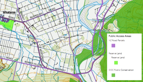
The bed of the lower reaches of the Whataroa River is largely Crown land and described as ‘hydro’. In some parts, it's accessible via unformed legal roads or public conservation land. But these don't move with the river's course, so where it has eroded into private land, both the bank and the bed of the river are only accessible with the landowner's permission. Explore more on our map.
Where a private land parcel borders a river that's not navigable, the landowner to the side of the river also has ownership rights of the adjoining riverbed to the midpoint of the river. This right is not the same as a complete right of ownership, but it may give the landowner the right to keep other people out. So, you may need to seek the permission of the adjoining landowner before you swam, fished or stood in that half of the river.
Rivers and access on the move
This situation becomes more complicated over time because rivers have a habit of moving, eroding one side, and accreting on the other. Legal boundaries do not generally move, but sometimes they do move to follow the course of a river. For instance, public esplanade strips, often 20 m wide, that border a river will move with the river. But some other types of legal boundaries stay still even as the river accretes.
We can help
Yes, it’s complicated. Fish & Game has made life easier, identifying key river access points, but have a look at our maps to find out more (they include angler access points) or get in touch, and we’ll do our best to provide clarity about access for a specific site.