Downloadable GPX files make accessing hidden spots easier
Hunters and anglers can download GPX from Herenga ā Nuku maps.
“We’re excited about this technology,” says Herenga ā Nuku’s national operation manager Kirsti Douglas. “Because it means people accessing the outdoors can walk along public access that borders or passes through private land. And they can be more confident that they are in the right place.”
Anyone who wants access to the outdoors can use this technology. Hunters and anglers are two of those outdoor recreation groups who often want to get to public access spots that are off the beaten track.
Hunters and anglers often want to walk along an unformed legal road, marginal strip or easement that is not marked on the land itself. Those public accessways are marked on our digital maps, though. Downloading the GPX files for the coordinates of that accessways from our maps means people can be more confident, even without a phone signal, that they are not accidentally crossing private land.
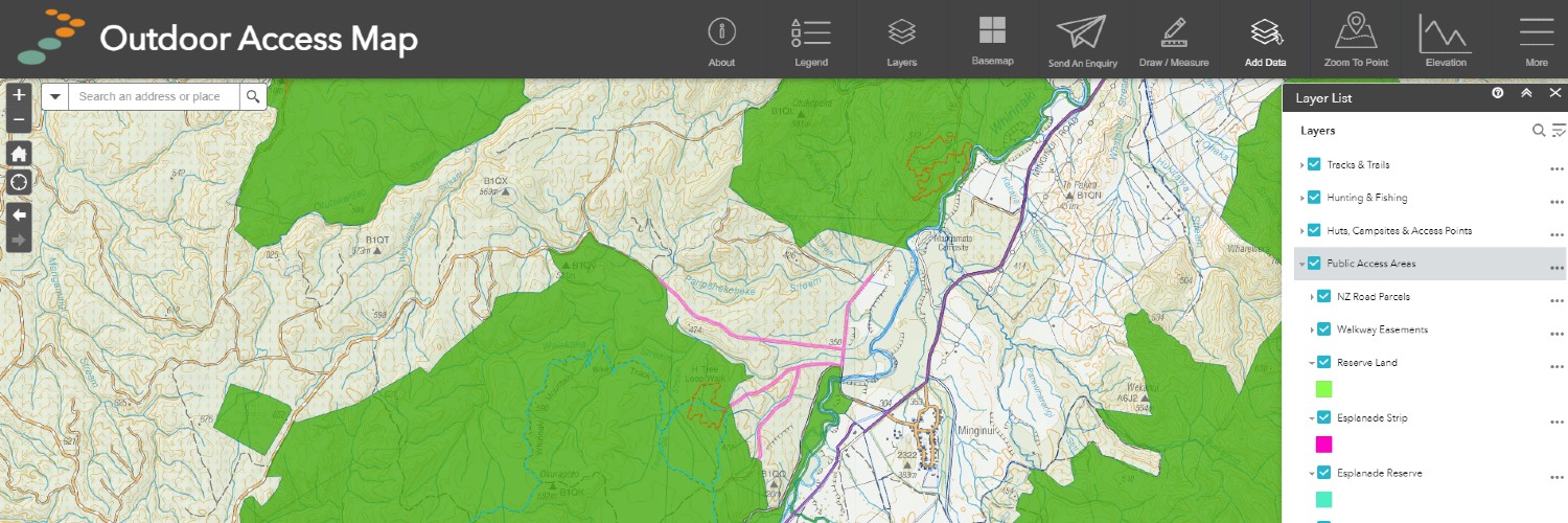
People can use our maps to draw lines or points over significant areas, tracks and unformed legal roads. Then they can export those drawings as GPX or KMZ lines or points and load them onto their handheld GPS unit or phone.
Then, as they are walking, they can be more confident they are in the right spot.
This technology also benefits landholders like farmers and forestry owners because it means people are less likely to wander onto private land without permission.
Instructions on how to download GPX